

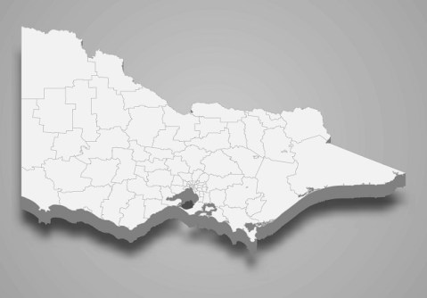
Stakeholder feedback is needed for a once-in-a-generation review of licensing for cadastral surveyors.
Geoscience Australia to give online update briefing
The Showcase 2026 event will cover the Digital Atlas of Australia, seabed mapping, critical minerals and more.
Read moreLatest Geospatial News
View all
ADVERTISEMENT
Position Partners has supplied a full complement of the latest surveying and mapping instruments and software.
A packed program of virtual events and presentations will see international experts gather for #SgGeoFest.
Global mapping and geospatial agencies will outline how they can support policies dealing with climate change.
3D mapping data for New Zealand’s Marlborough region has been released as part of a LiDAR elevation data project.
The award is for completing the first entirely remote inspection project on 125 km of Woodside’s gas trunklines.
ADVERTISEMENT
Binar-1 and CUAVA-1 will now wait their turn for deployment from the ISS and into their own orbits later this year.
Aidedo was founded based on the practical experience of CEO Aiden Tong while studying and working with many Civil Engineering and Land Surveying firms in developed countries.
A launch date of no earlier than September 23 has been set for the latest Landsat remote sensing satellite.
Events
View All-
Nov 24
Locate26 Conference / 10th Digital Earth Summit
Melbourne Convention & Exhibition Centre -
Nov 30
-
Feb 5
2026 National EISSI Awards
The Marion, Barrine Drive Regatta Point, Commonwealth Park, Canberra -
Mar 15
Association of Public Authority Surveyors, NSW, 2027 Conference
Crowne Plaza, Terrigal