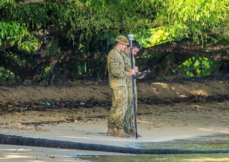
Personnel conducted survey operations in support of project to complete the building of a border outpost.

2026 Women in GIS awards now open
Applications are being sought for the Women in GIS awards and scholarships program for 2026.
Read moreLatest Geospatial News
View all
ADVERTISEMENT
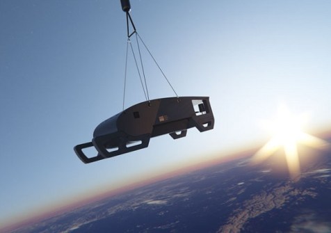
Near Space Labs will use the funds to expand its fleet of Swift ‘robots,’ capable of 7cm imagery capture.
 2025-05-06
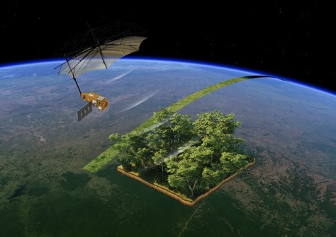
Biomass will measure how much carbon is stored in forests and how that is changing over time.
 2025-05-05
UP42 customers can now task Maxar’s satellite constellation and access very high-resolution imagery.
 2025-05-02
Geospatial leaders from Australia, Saudi Arabia and China have been honoured with the inaugural medals.
 2025-05-01
Individuals who would like to take part as mentors or mentees, are being encouraged register their interest.
 2025-04-30
ADVERTISEMENT
The panel will support the delivery of the Positioning Australia program and foster a thriving PNT ecosystem.
 2025-04-30
The deal with an undisclosed defence and security operator is for near-daily, ultra-low latency EO analytics.
 2025-04-30
 Events
View All-
Feb 4
PNT 2026 Conference
 Royal Randwick racecourse, Sydney
 -
Feb 17
Geo Week 2026
 Colorado Convention Center, Denver
 -
Mar 4
BYDA Utility Safety Conference 2026
 RACV Club Melbourne
 -
Mar 16
Association of Public Authority Surveyors (APAS) 2026 Conference
 Park Proxi Gibraltar, Bowral, NSW
 -
Mar 22
Hydrospatial 2026 Conference
 Shed 6, Wellington, New Zealand


