

Earth observation data from Perth’s LatConnect 60’s planned constellation will feature on the UP42 marketplace.
Bentley elevates participation in digital twin consortium
By Spatial Source on 16 December, 2020Bentley has become a founding member of the digital twin consortium, and will join its steering committee.
Iridium launches GMDSS maritime safety system
By Spatial Source on 16 December, 2020Iridium’s GMDSS maritime safety system covers the entire globe with real-time connectivity and calling capability.
Faro launches Zone 3D 2021 software suite
By Spatial Source on 15 December, 2020Faro has announced the release of its new Zone 3D suite for forensic reconstructions of crime & accident scenes.
Sky Drone joins Nvidia incubator program
By Spatial Source on 15 December, 2020Hong Kong’s Sky Drone has joined Nvidia’s Inception AI processing incubator program.
Best of the blogs
By Spatial Source on 15 December, 2020Spatial Source’s fortnightly round-up of the best in cartography, spatial analysis and creative applications of GIS.
Latest Geospatial News
View all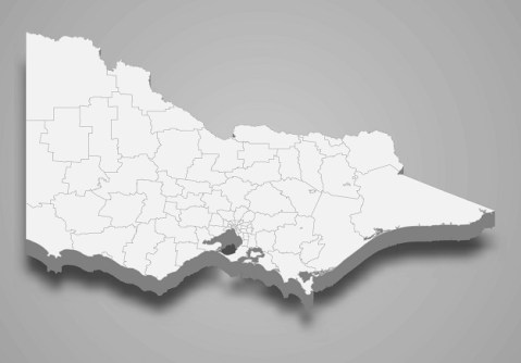
Land Victoria is asking members of the industry to take part in an important GDA2020 Transition Survey.
 2021-12-01
ADVERTISEMENT

Federally funded grants of $750,000 to $10m will help companies launch their technologies into space.
2021-11-30 
The Australian Space Agency has set out its vision for expanding Australia’s Earth observation capabilities.
2021-11-30 
They are among the latest group of experts to be elected Fellows of the Academy of Technology and Engineering.
2021-11-29 
The program is for potential part-time teachers in surveying and spatial, studying for a Cert IV in Training.
2021-11-29 
Sentinel-2 imagery plus machine learning will produce high-quality, state-wide maps of fire-affected areas.
2021-11-25
ADVERTISEMENT

Learn about the opportunities inherent in the Australia-UK Cal-Val SpaceBridge project at an upcoming workshop.
2021-11-24 
- Sponsored Content
Aidedo was founded based on the practical experience of CEO Aiden Tong while studying and working with many Civil Engineering and Land Surveying firms in developed countries.
2026-06-02
Submit a short video on your research project for the chance to win a cash prize of up to US$250.
2021-11-24 



Events
View All-
Nov 9
2026 Advancing Earth Observation Forum
 Hobart, Tasmania
-
Nov 10
SouthPAN Industry Day
Online -
Nov 13
South West and Great Southern Surveyors Conference
Mantra Bunbury Lighthouse, Bunbury, WA -
Nov 24
Locate26 Conference / 10th Digital Earth Summit
Melbourne Convention & Exhibition Centre -
Nov 30

