

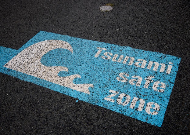
Image courtesy NZ Civil Defence
The New Zealand Government has launched the country’s first nationwide tsunami evacuation map, available online for the public.
“All of New Zealand’s coastline is at risk of tsunami which means most of us live, work, or play in areas under threat,” said Emergency Management Minister, Kieran McAnulty. “The new national tsunami evacuation map makes it easy for people to find out where to get to safety.
The evacuation map enables members of the public to enter their address to find out if they’re in a tsunami evacuation zone and where to go to stay safe, along with local evacuation information.
“While individual areas of the country have tsunami maps, this is the first time we’ve had a single map for the whole country, and is the latest of a series of milestones to strengthen Aotearoa’s tsunami safety arrangements,” the Minister said.
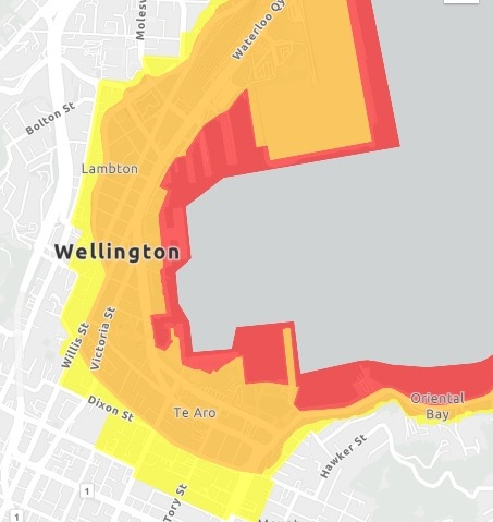
Image courtesy NZ Civil Defence
In addition to the tsunami evacuation map, the Government has also:
- established the National Geohazards Monitoring Centre
- deployed the DART marine tsunami sensor network to provide early warning of threats to Aotearoa and the South Pacific
- rolled out the Emergency Mobile Alert system, and
- opened the National Emergency Management Agency’s (NEMA) 24-7 Monitoring, Alerting and Reporting Centre.
The tsunami evacuation map has been developed by NEMA in partnership with the 16 regional Civil Defence Emergency Management Groups, and brings together the data of the 16 regional evacuation maps and local evacuation information. As regional information is updated, the national tsunami evacuation map will be updated as well.
The DART marine tsunami sensor network is the second-largest tsunami warning network after that of the US.
Stay up to date by getting stories like this delivered to your inbox.
Sign up to receive our free weekly Spatial Source newsletter.


