

Australian users of NovaSAR-1 satellite synthetic aperture radar now have access to data processed to meet the CEOS-ARD standard.
CEOS is the Committee on Earth Observation Satellites (an inter-agency organisation) while ARD stands for Analysis Ready Data.
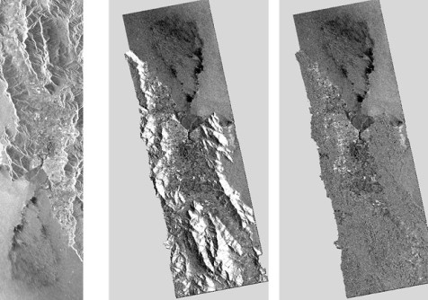
CEOS-ARD are “satellite data that have been processed to a minimum set of requirements and organised into a form that allows immediate analysis with a minimum of additional user effort and interoperability both through time and with other datasets”.
Australia’s 10% share of the tasking and acquisition time of the NovaSAR-1 satellite is operated by CSIRO as a National Facility for research. Registered users are able to access the CSIRO NovaSAR-1 National Facility Datahub and submit new tasking requests.
Recognising that not all users have same deep level of experience in using satellite-derived data as do the CSIRO experts, and that many do not have access to expensive software, CSIRO has worked with the CEOS-ARD team to develop workflows for generating CEOS-ARD v5.5 NRB-compliant NovaSAR-1 ARD products.
All archived data covering Australia has now been processed to meet the CEOS-ARD standard and is available to download from the CSIRO NovaSAR-1 National Facility Datahub, and all future data covering Australia will be processed to ARD as standard.
CEOS-ARD was previously known as CEOS Analysis Ready Data for Land (CARD4L), a term that might still be found in some documentation.


