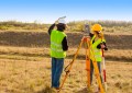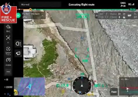
Footage has been released showing Australia’s Disaster Assistance Response Team’s (DART) aerial imagery and mapping efforts in the wake of the Nepal flood event.
As Spatial Source reported last week, Australia has deployed a 15-person DART, including a number of specialist RPAS operators and aerial mapping experts, to aid in Nepal flood relief efforts.
The team is made up of personnel from Fire and Rescue NSW (FRNSW) and the Queensland Fire Department.
The DART has set up a base of operations in the town of Bidur, north-west of Kathmandu, and is relaying information from their aerial missions to local emergency commanders.
The team is equipped with a range of drones, including small devices that can infiltrate tight spaces to look for signs of life.
The firefighters, working with the Nepali army, have flown damage assessment flights over the Upper Trishuli hydro-power plant in the Nuwakot district.
In total, the Australian drones have captured infrared, AI and 3D mapping images of almost 200,000 square metres of terrain.
The team will continue to use the drones to access areas where it’s too dangerous for ground crews to operate, providing situational awareness from the air and assessing bridges, schools and critical infrastructure for damage.
“The specialist teams are using their expertise to map out the devastated areas and provide a crucial ‘eye in the sky’ alongside international crews,” said FRNSW Chief Superintendent, Jeremy Stubbs.
“Our drones are equipped with AI software that helps us measure debris and capture footage of the damage.
“We’re then able to stream that information back to the emergency commanders to make important decisions in real time.”
Readers wishing to donate to the Nepal flood relief efforts can visit emergencyaction.org.au.