Australian scientists are getting closer to detecting bushfires in record time, with plans to use AI image processing aboard satellites to detect fires 500 times faster than traditional on-ground processing of imagery.
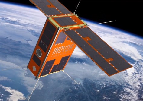
The project, funded by the SmartSat CRC and led by the University of South Australia (UniSA), has developed an AI-assisted, energy-efficient smoke detection system for deployment aboard South Australia’s soon-to-be-launched cube satellite, Kanyini.
Kanyini is a collaboration between the SA Government, SmartSat CRC and industry partners to launch a hyperspectral imager-equipped 6 U CubeSat satellite into low-Earth orbit to detect bushfires and monitor inland and coastal water quality.
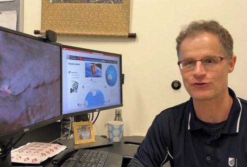
Lead researcher, UniSA geospatial scientist Dr Stefan Peters, says that, traditionally, Earth observation satellites have not had the on-board processing capabilities to analyse complex images in real-time.
His team, which includes scientists from UniSA, Swinburne University of Technology and Geoscience Australia, has overcome this by building a ‘lightweight’ AI model that can detect smoke within the available on-board processing, power consumption and data storage constraints of cube satellites.
Compared to the on-ground based processing, the AI on-board model reduced the volume of data downlinked to 16% of its original size while consuming 69% less energy.
The AI model also detected fire smoke 500 times faster than traditional on-ground processing.
“Smoke is usually the first thing you can see from space before the fire gets hot and big enough for sensors to identify it, so early detection is crucial,” said Dr Peters.
To demonstrate the AI model, they used simulated satellite imagery of recent Australian bushfires and machine learning to train the model to detect smoke in an image.
“For most sensor systems, only a fraction of the data collected contains critical information related to the purpose of a mission,” said Dr Peters.
“Because the data can’t be processed on board large satellites, all of it is downlinked to the ground where it is analysed, taking up a lot of space and energy. We have overcome this by training the model to differentiate smoke from cloud, which makes it much faster and more efficient.”
Using a past fire event in the Coorong as a case study, the simulated Kanyini AI on-board approach took less than 14 minutes to detect the smoke and send the data to the South Pole ground station.
“This research shows there are significant benefits of on-board AI compared to traditional on ground processing,” said Dr Peters. “This will not only prove invaluable in the event of bushfires but also serve as an early warning system for other natural disasters.”
The research team hopes to demonstrate the on-board AI fire detection system in orbit in 2025 once the Kanyini mission is operational.
“Once we have ironed out any issues, we hope to commercialise the technology and employ it on a CubeSat constellation, aiming to contribute to early fire detection within an hour.”
Details of the experiment have been published in the IEEE Journal of Selected Topics in Applied Earth and Remote Sensing.