

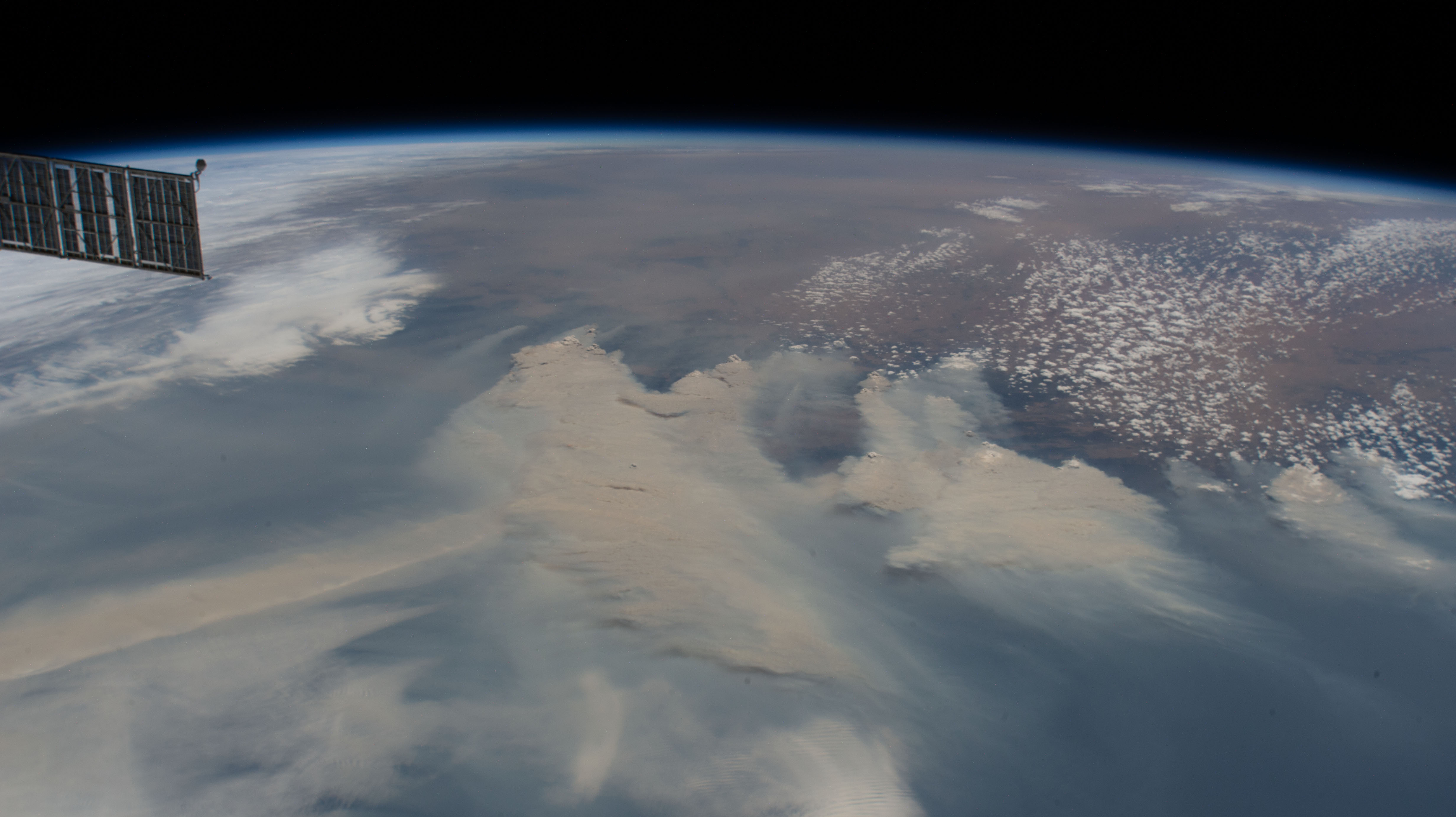
Australia’s 2019/2020 bushfires as seen by the International Space Station.
Open call to help prepare for the 2020 fire season by mapping static water infrastructure.
Registrations are now open for the Surveying & Spatial Science Institute’s FireWater Map-a-thon on Saturday, October 31.
Following on from February’s bushfire recovery map-a-thon, which saw 600 volunteers from over 25 countries participate, October’s event seeks to help Australia prepare for Summer 2020/21.
Participants will be tasked with mapping static water infrastructure — dams, water tanks, swimming pools, you name it — to assist authorities and the RFS with preparation and response efforts by updating Australia’s Static Water Supply System.
The area of interest for this Map-a-thon is Kangaroo Island and regional Victoria.
The data will be used in the Growing Data Foundation’s FireWater web app, which shows how low-cost, long range radio technologies (LoRaWAN) and open GIS mapping systems can be used to provide real time water source data (such as water tanks and natural water sources) to on-the-ground fire crews.
FireWater also incorporates journey planning functionality, to direct fire crews to nearest available water sources. As with the recovery event, the OpenStreetMap (OSM) Platform and HOT Tasker Manager will be used to coordinate the mapping effort.
Nearmap will be supplying high resolution aerial imagery for the event, and project sites for the event will be handled by NGIS Australia.
Register to participate in the SSSI FireWater Map-a-thon, and tune in to their webinar about the event on Wednesday, October 7.
Stay up to date by getting stories like this delivered to your mailbox.
Sign up to receive our free weekly Spatial Source newsletter.


