

The GEODNET Foundation has announced new distribution and OEM agreements with more than ten enterprise customers, including AllyNav, Bad Elf, bynav, Sensori Robotics and Unmanned Life.
“Today we announced a wide range of new customers whose business’s span automotive electronics, drone technology, IoT robotics, as well as traditional farming and surveying equipment,” said Mike Horton, Project Creator of GEODNET.
“These newly announced customers as well as an additional five non-public contracts demonstrate the breadth and growth of applications for precise location using GEODNET.”
GEODNET is a community-based decentralised physical infrastructure network (DePIN), which means that anybody can contribute by installing and operating a reference station known as a satellite miner. Satellite miners deliver precise real-time kinematic (RTK) correction data to devices equipped with GNSS receivers within a range of approximately 20 to 40 kilometres.
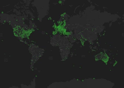
GEODNET claims to have the world’s largest RTK network, with more than 7,000 registered reference stations in 2,500-plus cities across more than 120 countries.
According to the organisation, its ecosystem is undergoing continuous growth, adding an average of 100 to 200 GNSS references stations per week during the first half of 2024.


