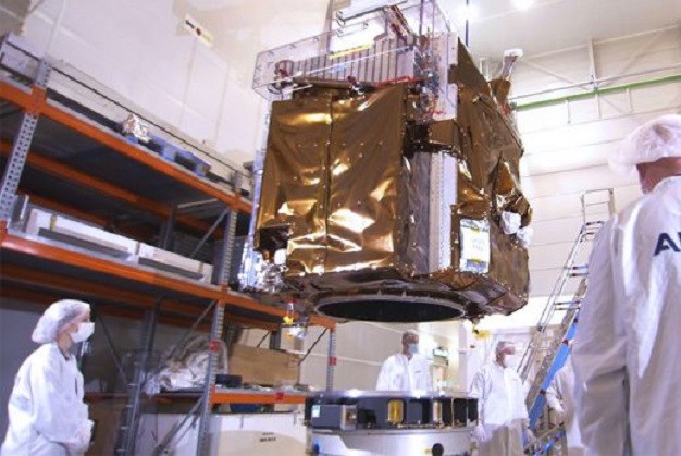
The first of the Pleiades Neo satellites, shown being readied for shipment from France to the launch site in French Guiana. Courtesy Arianespace.
The first of four Pleiades Neo earth-monitoring satellites was placed into orbit on April 28 aboard an Arianespace Vega rocket launched from French Guiana.
The first-image milestone is expected this week, followed by a period of in-orbit calibration.
The Pleiades Neo constellation is funded, designed, manufactured, owned and operated by Airbus, and is a follow-on to the current first-generation Pleiades satellites.
Each Neo satellite will add half a million square kilometres coverage per day at 30cm native resolution.
Importantly, each satellite will be able to take advantage of the inter-satellite communications links provided by the European Data Relay System geostationary satellites. This will enable them to make acquisitions just 30 to 40 minutes following a tasking request.
“The launch of this first Pleiades Neo satellite will pave the way to new services and great opportunities for our customers, thanks to its high accuracy and increased reactivity,” said François Lombard, Head of Intelligence at Airbus Defence and Space.
“The Pleiades Neo constellation will definitively boost the 30cm imagery market, bringing a lot of innovation and coverage capacity to the commercial and governmental end-users.”
The next satellite in the Neo series is being readied for launch in the middle of the year.
Stay up to date by getting stories like this delivered to your inbox.
Sign up to receive our free weekly Spatial Source newsletter.