

The age-old proverb, “time is money,” is a truth in every industry. In the world we live in today where inflation is affecting economies across the globe, time can mean the difference between profit and significant losses including having to layoff entire workforces. Increasing production efficiencies is a must for smart business owners and fiscally responsible government organizations who want to make sure they are maximizing their return on investment a turn as we go into 2023.
Time spent waiting for data to process affects not only budgets, but schedules and with the holidays around the corner, getting quality data to clients can be a challenge. The expectation to wait multiple hours for data to process is no longer an option and the new standard for mapping is faster data processing. With advancements in software, production teams only need to wait a fraction of the time it took even two years ago.
One software system that continues to push the boundaries of data processing speeds and capabilities is Correlator3D™ or C3D™ developed by SimActive. Since 2003, C3D™ has been used by leading mapping firms and government organizations around the world who need to process and delivery high quality data that meet international data standards.
C3D™ is a patented comprehensive photogrammetry solution for the generation of high-quality geospatial data from drones, satellite, and aerial imagery – all within a single software. Powered by GPU technology and multi-core CPUs, C3D™ ensures matchless processing speed to support rapid production of large datasets. It features batch processing tools as well as scripting capabilities to automate processes.
The software is capable of processing data from:
- All cameras and sensors mounted on UAVs (e.g., infrared and multispectral)
- All medium and large format cameras installed on aircraft, such as Vexcel, DMC and PhaseOne
- Any satellite imagery through RPCs
C3D™ performs aerial triangulation (AT) and produces dense digital surface models (DSM), digital terrain models (DTM), point clouds, orthomosaics and vectorized 3D features. It also includes built-in tools to support volumetric calculation, contour generation, point cloud colorization, NDVI map creation and 3D change detection – to name a few.
C3D™ is used in multiple scientific fields including:
- Emergency Response: Damage assessment following natural disasters
- Thermal: Thermal analysis for pipeline inspections and fire monitoring
- Environmental: Coastal mapping to support shoreline management
- Mining: Volumetric analysis and calculation for mineral extraction monitoring
- Surveying: Large projects comprising thousands of images
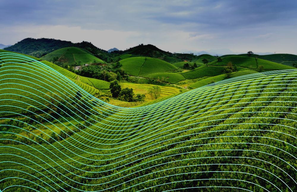
- Agriculture: Optimization of yields and reduction of farming costs
The company offers both a free-processing option for new users to get tailored recommendations for their processing and also a free trial to test out the software. Please visit to learn more SimActive.com.


