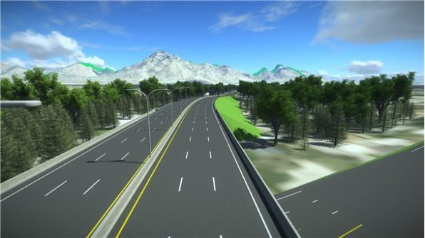
Industry writer Jon Fairall checks in from Bentley’s Year in Infrastructure conference
3D & BIM
-
From the office to the job site, construction’s top 10 apps of 2017.
2017-09-13
CRCSI quantifies the value of spatial technology for 10 key industries.2017-08-22
June/July issue of Position magazine now available online.2017-08-21
ADVERTISEMENT3D modelling everything from submarines to cities.2017-07-19
An evolving Earth Vs Machine learning maps – Best of the Blogs time!2017-07-12
Organisations and individuals across the Asia Pacific region are invited to showcase their...2017-07-08
Reality modelling software to be distributed in Australasia.2017-06-26
A new MoU between Pointerra and AAM aims to simplify access to valuable...2017-06-21
Seamless integration of 3D laser scan data with Autodesk 2018 design tools.2017-06-15
Integrating photo reality modelling data with advanced drafting and engineering.2017-06-14
A new wayfinding system directs users around buildings using their smartphones.2017-06-13
Enabling automated UAV surveys at various altitudes and camera angles.2017-06-13
CSIRO-developed indoor mapping technology is being used to monitor mines.2017-06-13
There are many names, but just as many opinions about their suitability as...2017-05-24
Using LiDAR and geo-tagged imagery to map 85,000 km of powerlines in 3D.2017-05-09
Adam Lamond replaces Simon Thomas as chief executive of surveying superpower Veris.2017-04-26
Bringing decades of knowledge in 3D laser scanning and mobile mapping.2017-04-26
A stunning new platform for immersive experiences, but lacking the most useful features.2017-04-19
Highly-anticipated Sydney dataset now available, as PSMA sets its sights on the world.2017-04-12
Newsletter
Sign up now to stay up to date about all the news from Spatial Source. You will get a newsletter every week with the latest news.
© 2026 Spatial Source. All Rights Reserved.
Powered by WordPress. Designed by