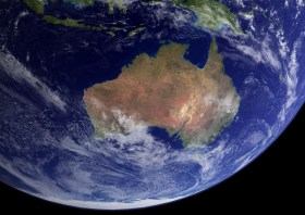
The 18th Australian Space Forum will bring together the best and brightest from Australia’s space industry and around the world. The event will feature keynote addresses from local and international space industry leaders and informative panel discussions on current space topics and industry trends.
Supported by the Australian Space Agency and the South Australian Space Industry Centre, the Forum will provide the ideal opportunity to stimulate ideas, share information about emerging technologies and network with influential space sector leaders and the broader community.
Participants can attend in person, or purchase session recordings if they are unable to physically attend.
Image courtesy NASA/R. Simmon/R. Stöckli
The International Geoscience and Remote Sensing Symposium (IGARSS) is the flagship conference of the IEEE Geoscience and Remote Sensing Society. The 45th IGARSS will be held in Brisbane from 3 to 8 August 2025.
The theme of IGARSS 2025 is ‘One Earth,’ and the symposium will address threats to our Earth and promote collaborative global solutions that use remote sensing technology. The event will have strong technical and social programs, and present opportunities for regional and global collaboration.
Topics to be covered include:
- The contribution of international standards for land cover and land use and guidelines for SDG reporting
- Advanced satellite remote sensing techniques for coastal hazard monitoring and risk prediction
- Advanced signal processing methods for geoscience and remote sensing applications
- Applications of remote sensing in urban climate and sustainability
- Calibration and validation of space-based imaging spectrometers during a growth era of hyperspectral data sources
- Close-range sensing of the environment
- Deep learning and remote sensing for rapid disaster response
- Earth observation foundation models
- Hyperspectral geoscience mapping in developing countries
- New satellite laser data for terrain modelling
- Quantum technology for remote sensing
- Space LiDAR: Missions, technologies, and observations

The Survey and Spatial New Zealand Annual Conference is the premier CPD event of the year for surveying and spatial professionals, offering an invaluable opportunity for knowledge-sharing, networking and professional development, connecting delegates with the latest trends and innovations in the sector.
This year’s theme of ‘Transforming the Landscape’ will bring a focus on innovation, forward-thinking and the evolving landscape of the profession, with an emphasis on technology and the future of the sector.
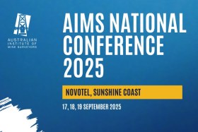
After the success of the Australian Institute of Mine Surveyors (AIMS) 2024 National Conference in Perth, 2025 will see the even return to the east coast for the 2025 AIMS National Conference at the Novotel Sunshine Coast Resort.
The Perth conference set new attendance records, and AIMS says it anticipates an even larger gathering in 2025. AIMS members, non-members and industry suppliers are welcome to attend the event.

The INTERGEO EXPO and CONFERENCE brings together hundreds of exhibitors and thousands of delegates from around the world, to discuss with, learn from and network with others in the sectors of geodesy, geoinformation and land management.
The event presents an opportunity for vendors to showcase their innovative geodata-based solutions to an international audience over three days, addressing current challenges such as climate change, urbanisation and sustainable land use.
The 2024 event in Stuttgart attracted more than 550 exhibitors and more than 17,000 visitors.
The Free and Open Source Software for Geospatial (FOSS4G) conference series, hosted in partnership with OSGeo, brings together open source geospatial users, software developers, decision makers and researchers from around the world.
The FOSS4G 2025 conference in Auckland, New Zealand, will be a vibrant gathering that fosters collaboration and celebrates innovation in the exciting world of free and open source software for geospatial.
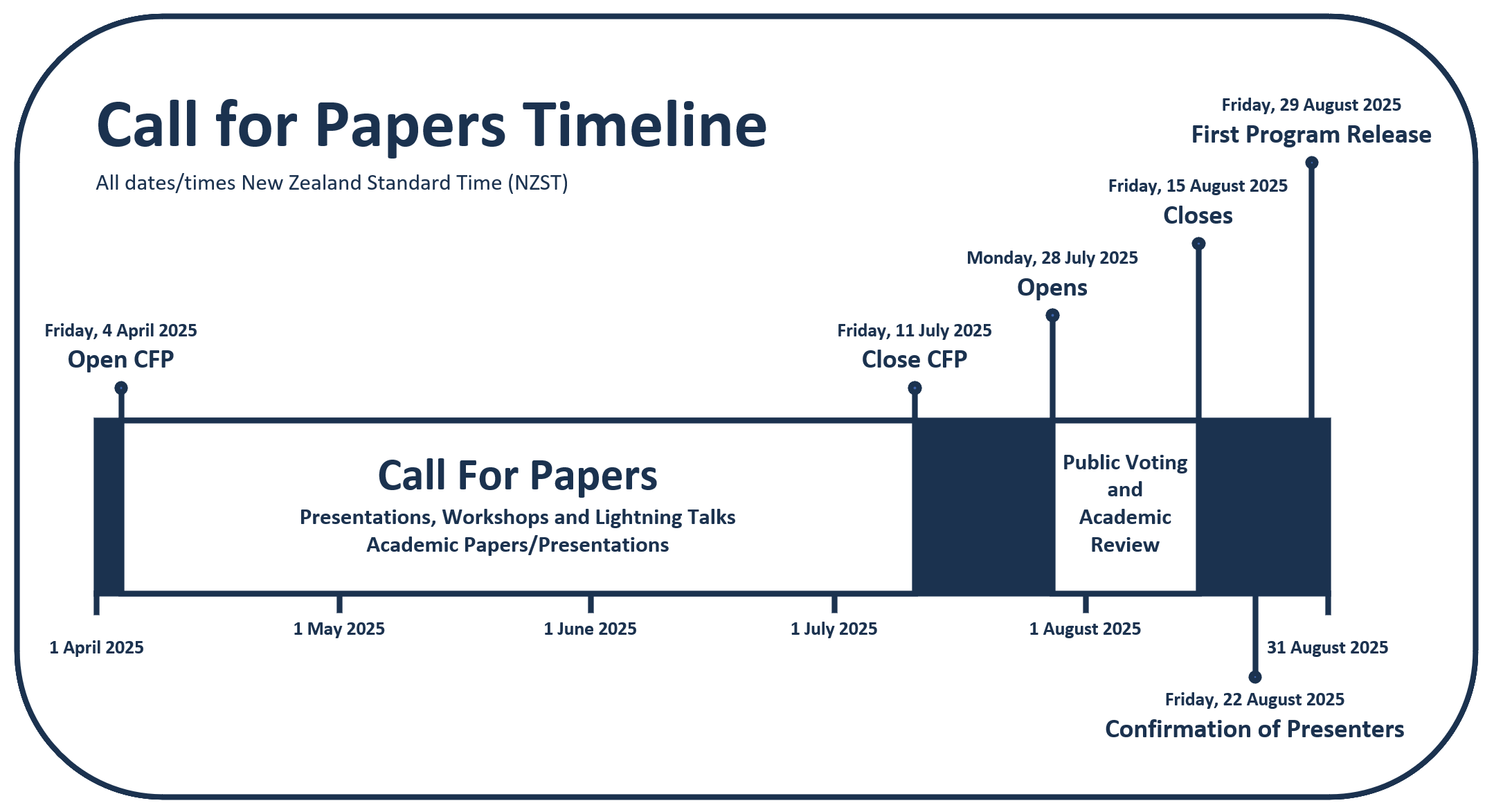
The event will feature workshops, technical sessions, keynote addresses, ‘lightning talks,’ code sprints and community events, social events and a ‘women in geospatial’ breakfast.
It is expected that the full program will be made available in August 2025.

The Positioning, Navigation and Timing 2026 (PNT2026) conference will be held at Sydney’s Royal Randwick Racecourse from 4 to 6 February next year.
Formerly known as the IGNSS Conference, PNT2026 will bring together local and global experts from industry, government, defence and academia to showcase and discuss the latest advancements in GNSS and alternative PNT technologies.
Key industry challenges will be on the agenda, as will applications across the aerospace, defence, smart city, autonomous systems and critical infrastructure sectors, and others.
This will be the first event of its kind since the International GNSS Association (IGNSS) merged with the Australian Institute of Navigation.


