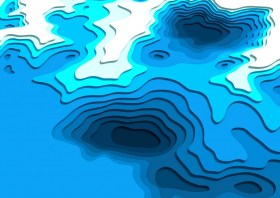
The Geospatial Council of Australia’s World Hydrography Day Seminar will dive deep into the latest advancements in hydrographic surveying, mapping technologies and data analysis techniques.
The event will give delegates the opportunity to connect with fellow professionals, share experiences and learn from industry leaders at the forefront of marine charting and exploration.
For both seasoned experts and those just starting out in the field, the event promises invaluable insights and networking opportunities to enhance skills and advance careers.
Image credit: ©stock.adobe.com/au/HENADZ

The Geospatial Council of Australia’s Spatial Information Day will be an immersive journey into the dynamic world of geospatial data and technology.
Delegates will have the opportunity to engage with industry leaders, renowned experts and fellow enthusiasts, while delving into the latest advancements reshaping the understanding of space and place. On the agenda will be innovative solutions driving progress across sectors such as urban planning, environment management and disaster response.

The 9th International Colloquium on Scientific and Fundamental Aspects of GNSS will bring together members of the European scientific community and their international partners involved in the use of Galileo and other GNSS in their research.
The colloquium will address several major areas of research:
- Scientific applications in meteorology, geodesy, geodynamics, geophysics, space physics, oceanography, land surface and ecosystem studies.
- Scientific developments in physics with a potential impact on future GNSS, particularly in testing fundamental laws of physics.
- Aspects of metrology such as reference frames, on board and ground clocks, precise orbit determination and time and frequency transfer.
- Scientific aspects of satellite navigation, positioning and its applications.
- Other topics of interest such as big data, IoT, novel disruptive technologies, Cubesats, HAPS, UAVs and autonomous vehicles.
- Systems and technologies for navigation in space.
Image courtesy Lockheed-Martin


