Speaker:
Rebecca Price is the Principal Policy Officer, Land Management Policy | Energy, Environment and Climate Change at DELWP.
Rebecca will be presenting on the update of the Marine and Coastal Policy that was recently released. Join in the questions and answers after the presentation.
If you are involved in sea level implications from beach erosion, storm surges, the tidal interface, land tenure etc, don’t miss this webinar!
Second speaker to be announced.
Cost
Member FREE | Non-member $45
Contact

The Survey and Spatial New Zealand 2021 Annual Conference will draw on the ability of individuals and teams to adapt to change, adversity and setbacks in the current environment.
The conference program will include presentations on rebuilding and improving the economy, with a focus on resilient mindsets to support our members while they navigate the challenges and changes ahead. By sharing concepts, ideas and knowledge, industry members have opportunities to help build back the survey and spatial sector.
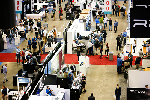
XPONENTIAL is a leading annual gathering for global leaders and end users of uncrewed technologies. Founded on a belief that cross-pollination drives innovation, it’s the only event designed to advance the entire autonomy ecosystem. Each year, it welcomes thousands of the industry’s top minds to cultivate collaboration, spark new ideas, and in 2023, build the blueprint for autonomy. XPONENTIAL is a catalyst — helping each attendee transform their vision into real opportunities.


Hosted by Eric Andelin CP, Senior Workflow Specialist with guest speaker Michael O’Sullivan, VP Sales, SimActive Inc.
It is often challenging for new entrants into the aerial imagery and mapping service profession to determine cost savings when it comes to their processing software solution. Smaller sensors, altitude restrictions, line of sight requirements and overall flight duration create unique challenges for drone operators. Medium and large format sensors acquire much larger areas, but require a much larger investment, or the ability to subcontract out the acquisition. Mapping expenses tend to increase as projects become larger. And using the wrong image processing software can exacerbate this, leading to narrowing project profits. This webinar will show how a higher-end software such as SimActive’s Correlator3D™ can reduce overall project costs. REGISTER HERE.
Specifically, attendees will learn about the following:
- Common challenges and impact on costs
- Cost variations as projects increase in size
- Workflows in Correlator3D to minimize man-hours
- Accelerating timelines with distributed processing


