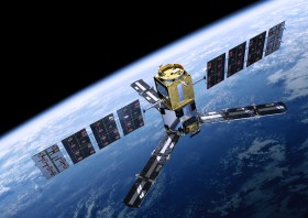
Prof. Stuart Phinn, The University of Queensland and Terrestrial Ecosystem Research Network; Dr Adam Lewis, Geoscience Australia; and Em. Prof. John Trinder, Remote Sensing and Photogrammetry Commission, Surveying and Spatial Sciences Institute of Australia are in the process of establishing a new national discussion and coordinating group for collecting and using earth observation data in Australia.
Earth observation is now used more widely than traditional spatial sciences or geomatic engineering areas, and has become a critical resource for ecological, atmospheric, oceanographic and social sciences, as well as development and maintenance of critical government and private infrastructure.
As a consequence of recent advances in Australia’s policies and activities using satellite image data, a need has been established for a coordination group enabling the wider earth observation community to engage with Australian government policy, planning and operations.
The Australian Earth Observation Coordination Group will meet formally and provide advice to relevant national agencies, state agencies, the private sector, research institutions and academic institutions concerned with coordinating and funding earth observation.
The aims and preliminary responsibilities of the Australian Earth Observation Coordination Group are outlined below.
It is proposed that the group will have two formal meetings a year, each with two parts:
Part 1 – whole of community virtual meeting
Part 2 – coordinating members face to face meeting
The group will be formally supported by the Remote Sensing and Photogrammetry Commission of the Surveying and Spatial Sciences Institute (SSSI) of Australia and Geosciences Australia, and will include the provision of a web-page, meeting planning and coordination (web-based conferencing) and secretariat support. Participation will be open and there is no need to be a member of SSSI to participate.
For more information, or to get involved, visit: http://www.crcsi.com.au/News/Coordinating-Aus-Earth-Obs.


