Smart technologies will be the focus of the Geo Smart Mining Forum taking place in Singapore at the end of March.
At every stage of a mine’s journey, geospatial specialists and technologies are at the heart of all planning and operations.
Surveying and GIS, satellite imagery and aerial LiDAR scanning, and these days even geolocation and geofencing — all these modalities and more play a crucial role in ensuring a mine’s financial success and safe operation.
This applies from the initial prospecting to scoping the scale of potential operations; from assessing environmental and humanitarian impacts to planning the layout of the mine; from operating it and then rehabilitating and remediating the land afterwards.
And it doesn’t matter whether the mine is above or below ground, big or small, or the type of raw material being mined — coal, iron ore, copper or any number of other commodities. Wherever there is a mine, geospatial technologies are its backbone.

Workflow automation
One of the biggest advances in recent years is the application of spatial data workflow automation on mining sites. Real-time data and analysis are changing the game, as GIS systems are integrated with asset management software.
And this is increasingly being enhanced by AI tools that bring a new level of sophistication and insight into operations… through automated imagery analysis, for instance.
According to BHP, “AI systems analyse vast amounts of mining data gathered by on-site sensors and other monitoring systems to identify patterns and make informed decisions, leading to increased efficiency, reduced costs, improved safety, and minimized environmental impact.”
And according to CSIRO’s Romana Dew, Senior Spatial Scientist, “Rapid advancement in spatial technologies opens incredible possibilities — we can now process and analyse multidisciplinary data at unprecedented scale and speeds”.
“At the same time, machine learning and AI can lead to more efficient, safer, and environmentally sustainable mining operations.”

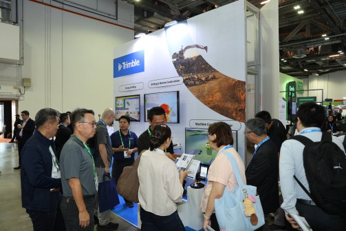
Mining solutions on show
Such smart technologies will be the focus of the Geo Smart Mining Forum at the Geo Connect Asia conference taking place in Singapore at the end of this month (31 March and 1 April).
With specific attention to ASEAN countries, the focus will be on the application of satellite, drone and ground survey solutions for the sustainable development of new mines, and especially in the identification of deposits of critical minerals.
The Forum will cover all aspects of geospatial applications in mining, divided into four broad areas:
- Frontier resources: Using geospatial technology to unlock new mining provinces
- Next-generation exploration: GIS and remote sensing for faster, smarter targeting
- Building the digital mine: Geospatial systems for daily operations and short-interval control
- From pit to port: Remote sensing, drones and digital twins for smarter, safer operations
Delegates will get to hear from experts from across the Asia-Pacific, representing governments, geospatial solutions providers and resource exploration companies.

Discount registration
The wider Geo Connect Asia 2026 event, themed ‘Geospatial driven impacts: Underground, land and sea to sky’, will focus on bringing the geospatial and location intelligence industries together for two days of face-to-face discussions.
Supported by the Singapore Land Authority, the event and conference stages will enable government agencies, enterprises and non-profit organisations to learn from each other and network with industry professionals and solutions providers from the Asian region and beyond.
Spatial Source readers can take advantage of a 15% discount on their registration by using this link.
What: Geo Smart Mining Forum at Geo Connect Asia 2026
When: 31 March and 1 April
Where: Sands Expo & Convention Centre, Singapore
Web: https://www.geoconnectasia.com/
For exhibition space and sponsorship enquiries please contact Mei Shyan Boo, Event Manager, on +65 9880 4126 or meishyan.boo@montgomerygroup.com.