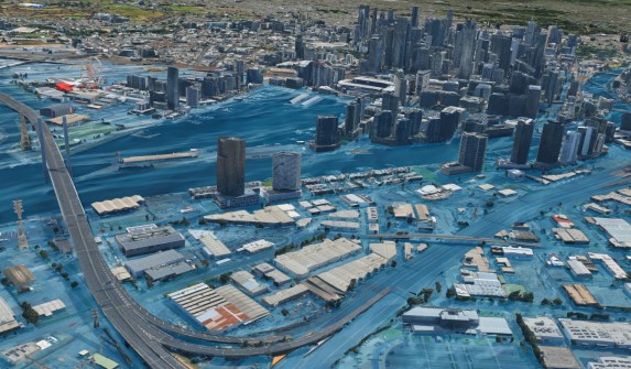
Governments can map flood and erosion exposure at scale to make clearer decisions about development, critical infrastructure, coastal defences and adaptation.
That’s the message from experts at Hatch, who have led an assessment of 5,000 kilometres of coastline to assess the risk of flooding, coastal inundation and erosion.
Flooding in figures:
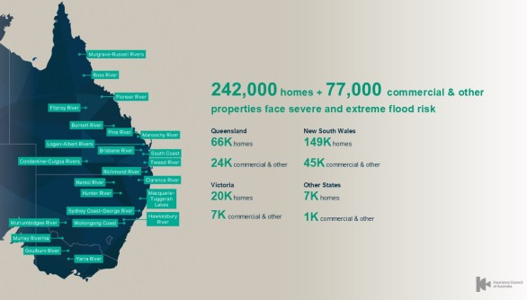
- Around 1.4 million Australian properties are already at risk of flooding.
- Almost 320,000 businesses and homes are considered to be at severe or extreme risk.
- The average annual cost of a flooding event is approaching $400 million.
- The major flooding event that occurred in the summer of 2010-11 cost the Australian economy $30 billion.
With numbers such as those, it’s no wonder that groups such as the Insurance Council of Australia are calling for a $30 billion national flood defence bank.
“Coastal communities can face coastal inundation (storm tide and wave effects) and erosion at the same time, and in estuaries and low-lying coastal floodplains these can interact with catchment flooding in compounding ways,” said Ryan Nguyen, a Senior Coastal Engineer for professional services firm Hatch.
“In safeguarding coastal communities from coastal hazards, we also preserve our wider natural environment, vital infrastructure, businesses, economies, and our homes.”
Facing up to the flooding challenge
For councils, the hard part is not just that hazards are intensifying — it’s that decisions are harder to explain, prioritise, and defend when studies are delivered site-by-site using different assumptions and methods.
According to Nguyen, there are “significant planning and management challenges both now and into the future that we all must face.”
“Creating a cascading approach to managing coastal hazard risks down to acceptable levels is critical.”
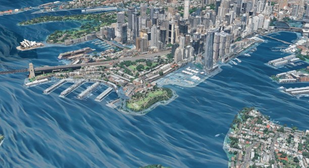
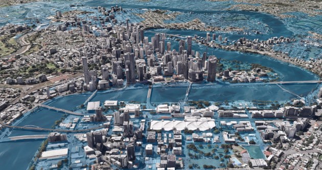
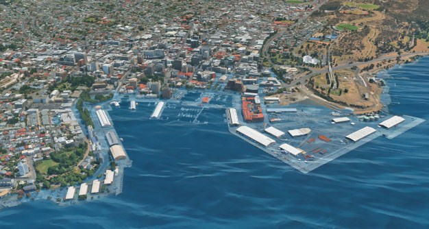
The team at Hatch was recently engaged by a state government agency to investigate a first-of-a-kind way to assess 5,000 kilometres of coastline for flooding and erosion risk.
“A digital mapping exercise was undertaken to break the shorelines into parts; statistics and processed-based modelling was then applied to determine probable erosion,” Nguyen said.
“The assessment helps us to visualise the hazard extent for the whole region and ways risk management or mitigation solutions could be applied in a consistent manner.
“This supports critical decision-making across corrective, adaptive and reactive approaches,” he added.
Building an evidence base
“Coastal defences will only protect us up to certain designed extreme events, such as a one-in-a-hundred-year storm tide sea level,” said Nguyen.
“We need to address the residual risk for insurers, governments and residents alike, and we can do that knowing which areas are more exposed and vulnerable, and what the likelihood and impact of such hazards could be.
According to Nguyen, different states use different planning instruments, but the direction is clear.
“Councils need consistent hazard information, practical guidance, and the capability to revisit decisions as conditions change,” he said.
“It is about building an evidence base that supports clear choices, staged action, and honest communication about residual risk.”
Related reading:
New flood maps rolling out in Melbourne
Feedback sought on SA’s draft Flood Hazard Code