Pozi is an Australian-owned, hosted and supported enterprise GIS application, currently trusted by more than 50 local governments across Australia. It is a hybrid cloud-based platform and delivers spatial data to users through a standard web browser, with no client software to install.
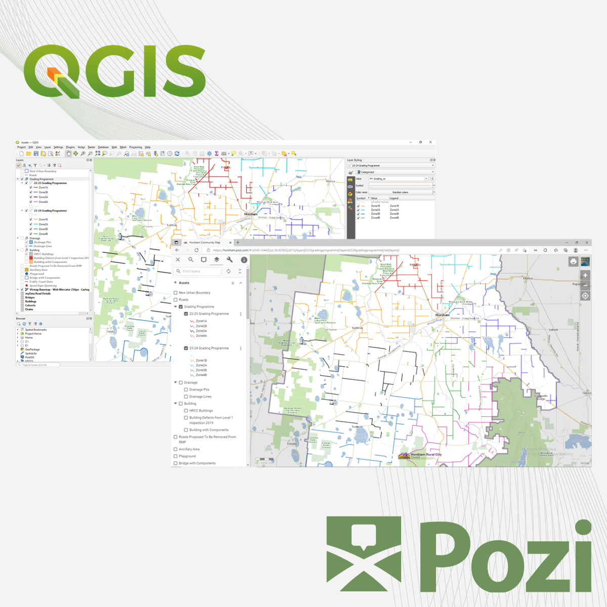
Pozi is built on QGIS, an industry-standard open-source GIS, allowing clients to author, style and label layers in dedicated QGIS projects and publish them directly to Pozi for organisation-wide access.
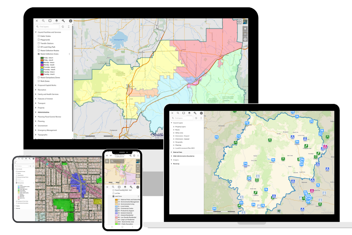
Pozi consolidates internal spatial datasets with external web services and integrates with corporate systems such as property, planning and asset management registers. The responsive interface scales to desktop, tablet and mobile devices, and ships with high-quality basemaps included as standard.
Built-in tools include measurement, drawing and markup, configurable “What’s Here” information panels, and URL-based map sharing for both internal users and the public.
For field workflows, Pozi resells and supports Mergin Maps in Australia, providing offline mobile data capture that syncs back to QGIS and Pozi. All data is hosted and supported in Australia, maintaining data sovereignty for council operations.