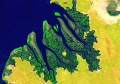
Toitū Te Whenua Land Information New Zealand (LINZ) has announced that seabed surveying of Tūranganui-a-Kiwa/Poverty Bay is underway to help to update nautical charts of the area.
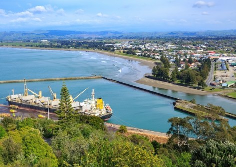
Poverty Bay is located in the north-east of the country’s North Island; the city of Gisborne is on its northern shore.
The activity is the final phase of a project that began in October 2022 as part of an ongoing hydrographic survey program.
The survey will take about eight weeks and will include the Te Tapuwae o Rongokako Marine Reserve, which has not been mapped in such detail before.
“The technology we’re using will give us 100% coverage of the seafloor, which we haven’t had in the Poverty Bay area before,” says Toitū Te Whenua Hydrographic Survey Manager, Stuart Caie.
“Technology has vastly improved since the last survey was done in the 1950s by the Navy. We’ll be able to see the full detail of the seabed as if the water had been drained away.”
While the survey will focus on data needed to update the charts, hydrographic surveys also gather information that can help with marine habitat management, aquaculture developments, flood planning and research.
Coverage will extend up to four nautical miles from the coastline and up to 80 metres deep in some places.
The survey is being conducted by Discovery Marine Limited on behalf of Toitū Te Whenua.
3D images will be published on the LINZ Data Service website and updated nautical charts will be available from the free NZ Electronic Navigational Chart Service.