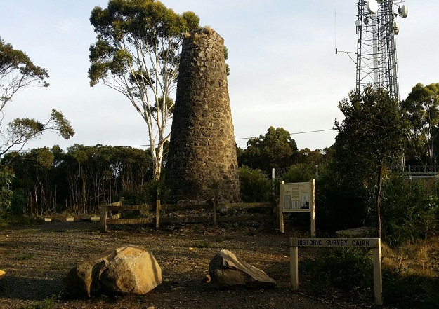
Image courtesy SGV
The Surveyor-General of Victoria (SGV) Geodesy division has shared the news that Heritage Victoria has recommended the Mount Macedon Survey Cairn be added to the Victorian Heritage Register (VHR).
The 8m-high, mortared stone survey cairn was built in 1860 and is considered to be of state significance as a central component of the original Geodetic Survey of Victoria.
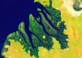
That survey was a major technical achievement, performed from 1858 to 1872 under the direction of Robert J. Ellery, Victorian Government Astronomer.
The Geodetic Survey of Victoria and the network of trigonometrical survey cairns supported coordinated surveying and mapping, enabling rapid allocation of land to new settlers, measurement of the heights of Victoria’s highest peaks and surveying the Black Allan line border between Victoria and NSW.
The Mount Macedon Survey Cairn is one of only two 19th century mortared stone survey cairns built in Victoria, with the other situated at Mount Alexander.
The trigonometrical station was placed at the summit of Mount Macedon to enable clear visibility to and from distant mountain tops and across the surrounding region.
SGV Geodesy says it proudly continues to maintain and enhance the Victorian geodetic survey control network, although its focus has shifted from trigs and cairns on mountain tops to supporting ongoing advancements in GNSS positioning.
Inclusion in the VHR will be determined by the Heritage Council of Victoria following the close of submissions in mid-September.
Stay up to date by getting stories like this delivered to your inbox.
Sign up to receive our free weekly Spatial Source newsletter.