

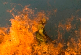
Scientists at the University of New South Wales will develop satellite surveying technologies that can monitor flooding, bushfires, deforestation and earthquakes in real-time thanks to a $4.7m government grant.
The project involves using multiple satellites, flying in a formation, to provide highly accurate, three-dimensional imaging of the Earth’s surface. It is based on using data captured from Synthetic Aperture Radar (SAR)-equipped satellites.
Flying satellites side-by-side allows an instant 3D surface map to be produced, while flying them one above the other allows researchers to examine the depth of forest material, according to Associate Professor Andrew Dempster, who will lead the project.
"This project will investigate all aspects of these formations, including accurate positioning of the spacecraft using GPS, and determining the best orbits for this type of satellite,” he said.
The SAR Formation Flying project could ultimately enable real-time satellite monitoring of disasters such as floods and fires and also be used to help predict earthquakes and volcanoes by measuring ground surface distortion, Dempster said.
UNSW’s collaborators on the three-year project are WA’s Curtin University of Technology, Delft University of Technology in the Netherlands, UK’s Astrium Ltd, BAE Systems of Adelaide and General Dynamics of New Zealand.


