

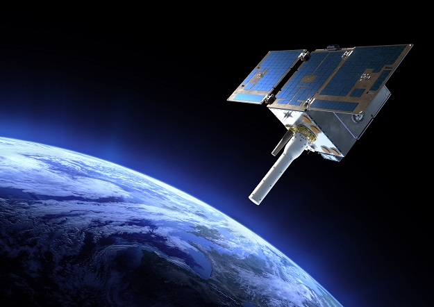
An artist’s impression of the General Atomics GAzelle satellite, carrying the Argos-4 instrument. Courtesy General Atomics.
Argos-4, a satellite instrument designed to improve knowledge of Earth’s environment, ecosystems, and biodiversity, has reached orbit following its launch on October 8 from RocketLab’s launch site on the Māhia Peninsula in New Zealand.
The instrument, developed by the US National Oceanic and Atmospheric Administration (NOAA) and the French Space Agency (CNES), is a hosted payload aboard a General Atomics GAzelle satellite.
CNES supplied Argos-4 to NOAA to continue the long-running Argos Data Collection System (Argos DCS), which dates back to 1978.
Argos is a polar-orbiting satellite-based system that captures, processes and distributes environmental data — ranging from atmospheric pressure and sea surface temperatures, to wildlife monitoring and marine animal tracking — from fixed and mobile platforms around the world, including from inaccessible areas such as oceans, deserts and polar regions.
“With its improved technology, Argos-4 will help take the pulse of Earth’s environment and provide greater value and benefit to a range of users around the world today and into the future,” said Steve Volz, director of NOAA’s Satellite and Information Service.
“The near real-time information satellites provide about our environment and how it’s changing is essential to every aspect of NOAA Fisheries’ mission,” added Janet Coit, assistant administrator for NOAA Fisheries, the top user of Argos data.
“The enhanced data-collection capabilities of Argos-4 will improve our ability to manage sustainable fisheries, conserve protected resources, monitor marine heatwaves and take action to support the resilience of our communities.”
Once Argos-4’s initial orbital checkout has been completed over the next two weeks, CNES will calibrate the instrument for three to six months before it is fully integrated into the Argos DCS.
Stay up to date by getting stories like this delivered to your inbox.
Sign up to receive our free weekly Spatial Source newsletter.


