

Canadian space data company, Wyvern, has launched an Open Data Program aimed at the Earth observation community, offering unrestricted hyperspectral imagery access and use providing attribution credit is given to Wyvern.
This Program will provide free hyperspectral satellite imagery captured from Wyvern’s Dragonette hyperspectral satellite constellation, offered under the CC BY 4.0 creative commons license.
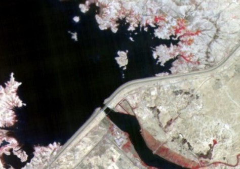
An initial batch of 25 images of various land cover features from across the globe — such as forests, fires, crop fields, coastal bathymetry, open pit mines and solar farms — have been made freely available.
“We are thrilled to launch our Open Data Program, reflecting Wyvern’s commitment to foster innovation in the remote sensing community and demonstrate the power of hyperspectral imagery to help solve some of our most urgent global challenges,” says Adam O’Connor, Chief Product Officer at Wyvern.
The company, which claims to have been first-to-market with the highest resolution commercial hyperspectral data, plans to continuously expand the Open Data Program as the Dragonette constellation collects more hyperspectral images, especially after the launch of Wyvern’s fourth Dragonette, currently planned for the first half of 2025.
“Making data freely available for researchers and developers to experiment with has been a goal at Wyvern from the start,” added Callie Lissinna, Co-Founder of Wyvern.
“Inspired especially by the open data philosophy of our friends at Umbra, we believe the geospatial community will collectively benefit from data providers like Wyvern sharing imagery freely.”


