US releases updated GEOID22 geoid model

By on 27 November, 2024
A map of North America, showing GEOID0222 information.
GEOID2022 Alpha geoid undulation. Courtesy NGS.

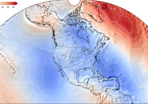
The US National Geodetic Survey has announced the release of an updated alpha version of the GEOID2022 geoid model.

GEOID2022 is the foundation for determining precise heights in the modernised US National Spatial Reference System, which is due for implementation in 2026.

The major updates to GEOID2022 include:

  • The use of the Geodetic data Grid eXchange Format, a new Open Geospatial Consortium Standard.
  • Data contributions from Canadian and Mexican partner agencies.
  • The first releases of deflection-of-the-vertical models and gravity models.
  • A new user experience that allows users to visualise the models as well as see the changes from previous models.

According to the National Geodetic Survey, GEOID2022 offers improved accuracy and data for navigation, positioning, and the myriad applications of geodesy — including autonomous navigation, precision agriculture, civil surveying, early warning systems, and improved floodplain mapping.

You may also like to read:


, ,


Newsletter

Sign up now to stay up to date about all the news from Spatial Source. You will get a newsletter every week with the latest news.

QGIS WCPS plugin for multidimensional datacubes
The new QGIS WCPS Plugin enables seamless querying and visua...
Seafloor mapping reveals landslide, tsunami risk
Surveying and mapping are providing insights into some of th...
Company behind Pokémon GO splits off spatial arm
Niantic will spin off its geospatial AI arm into a new compa...
Sphere Drones transitions to in-house production
Sphere boosts its local manufacturing capabilities to meet m...
Terria targets the digital twin universe
We speak with the firm’s co-founders to find about more ab...
Desktop, cloud geographic software
Blue Marble Geographics has launched Geographic Calculator 2...