Image credit: ©stock.adobe.com/au/creativenature.nl
The UK Geospatial Commission has published an update on the status of the National Underground Asset Register (NUAR), marking the first anniversary of the build phase.
The update provides a summary of progress over the past 12 months, as well as the economic case and a timeline for the next two years.
The NUAR aims to revolutionise the way buried infrastructure is installed, maintained, operated and repaired across England, Wales and Northern Ireland.
According to the Commission, “A significant proportion of our utility, building, and transport infrastructure is buried underground, including c. 4 million kilometres of buried pipes, cables, telecoms, and sewers”.
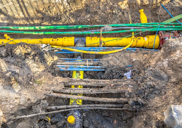
“An estimated 4 million holes are dug every year to access buried utility networks for repairs, upgrades, and installations.
“This busy and often unseen environment suffers an estimated 60,000 utility strikes per year, leading to injury, project delays, and disruption to traffic and local economies.
“Accidental strikes on underground assets are estimated to cost £2.4bn a year in direct and indirect costs.”
The Commission said the NAUR platform has “developed well” over the first 12 months of the build phase, and a large number of asset owners from across all sectors have already provided their data and signed agreements to allow it to be shared with others.
The Commission has also published the outcome of stakeholder consultations on the NUAR. More than 160 responses were received from utility companies, local authorities and other interested parties.
The feedback makes for interesting reading… for instance, regarding the number of organisations that need to be consulted in order for an underground project to proceed. The majority of respondents said they needed to contact 7 or fewer organisations to obtain underground infrastructure data, which some needed to contact 20 or more.
“Whilst there are a limited number of existing search providers that offer a service to manage queries regarding underground assets in partnership or on behalf of asset owners, these offerings are incomplete,” the consultation documents says.
“As such, statutory undertakers often need to contact multiple relevant asset owners to confirm underground apparatus in a given area in order to support safe working.”
There’s also the amount of time required for the information to be provided.
“On average, organisations had to wait 4.7 days to receive all the data they require.”
“Larger organisations had to wait the least time to receive underground asset data on average per project. Small and medium organisations experienced the longest time to wait to receive this data.”


