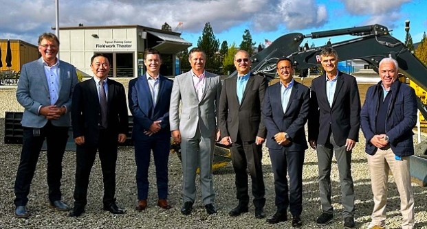
Topcon and FARO Technologies have announced that they have inked a “strategic agreement” to jointly develop innovative solutions for the laser scanning market.
The companies say the agreement will result in customers being given access to new digital reality solutions as well as complementary product developments, such as integration of Topcon and Sokkia solutions with FARO’s solutions.
Tetsuya Morita, Topcon’s Senior Executive Officer, General Manager, Smart Infrastructure Business Division, said that “By leveraging the expertise and technological capabilities of both companies, we will offer more comprehensive reality capture solutions.”
That leverage will involve taking the firms’ collective expertise in laser scanning technologies and using it to target sectors such as, construction, surveying, mapping, architecture, forensics, building information modelling (BIM), and industrial plant and process applications.
“We believe our collaboration with Topcon is an exciting step in making FARO’s state-of-the-art reality capture solutions more widely accessible,” said Peter J. Lau, FARO’s President and CEO.
“With Topcon’s established distribution channels and expertise in delivering geospatial solutions, professionals around the world will have access to the best tools to enhance productivity, accuracy and efficiency in their industries.”