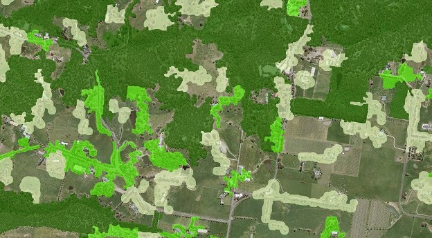
NSW’s Native Vegetation Regulatory Map has proven pivotal for identifying land use over...
vegetation
-
Victoria’s DELWP has used machine learning techniques to refresh the state’s 20-year-old tree...
2022-03-22
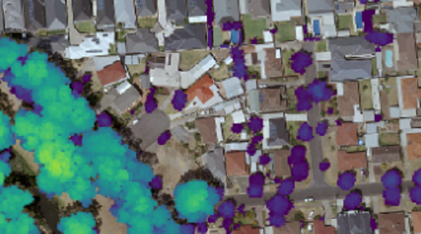
DR. SAMUEL HOLT, RESEARCH & DEVELOPMENT, AEROMETREX The urban environmental crisis Cities globally...2020-11-23
Analysis of 20 years of satellite data has revealed an increase in global...2015-03-31
ADVERTISEMENTA new online tool helps bee-keepers predict Eucalypt blooms, using historical satellite imagery.2013-07-23
Newsletter
Sign up now to stay up to date about all the news from Spatial Source. You will get a newsletter every week with the latest news.
© 2025 Spatial Source. All Rights Reserved.
Powered by WordPress. Designed by ![]()


