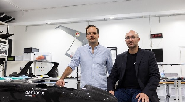
ArgenTech Solutions will provide services such as flight operations and pilot training using...
uas
-
The two companies have signed a memorandum of agreement on the development of...
2021-06-11
3D Sandpit maps; GoT maps; open source won; 21st C surveying; UAV forests;...2015-04-14
St Pats maps; Galileo fix; GNSS reliance; LiDAR in film; UAV; Strange Maps;...2015-03-17
ADVERTISEMENTTwo students have developed a quadcopter UAV to quickly deliver a floatation device...2014-09-16
Google has recently announced its ‘Project Wing’ – a prototype UAV, aka drone,...2014-09-09
Landsat’s 42nd; China’s EO; LightSquared sues USA; tech @ EsriUC; unis for drones;...2014-07-29
MH17; Easy GIS; China map controversy; drone endurance; OGC calls; isochrone APIs; timelapse.2014-07-22
Researchers at QUT have developed a UAV with an on-board aircraft collision detection...2014-07-01
Aerial images; Sim City Melbourne; ESRI MOOC; DigitalGlobe; UAV park ban; OGC +...2014-06-24
Position Partners has formed an alliance with AUSA to provide CASA-certified UAS training.2014-06-03
CR Kennedy held a UAV show in Sydney this week, which will soon...2014-03-04
Newsletter
Sign up now to stay up to date about all the news from Spatial Source. You will get a newsletter every week with the latest news.
© 2025 Spatial Source. All Rights Reserved.
Powered by WordPress. Designed by


