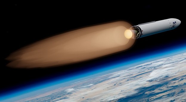
Gilmour Space Technologies has been selected to develop and launch the new sovereign...
surveillance
-
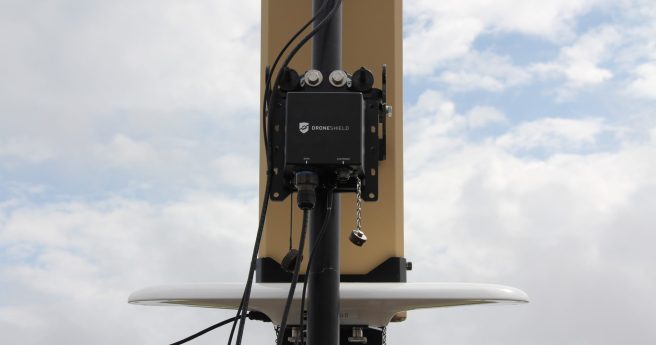
DroneShield claims a dramatic increase in detection responsiveness from its first fully AI-driven...
2021-02-11
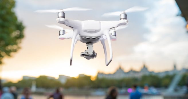
Surf Life Saving NSW and Northern Beaches Council will use UAVs to monitor...2020-11-18
The firm will monitor personnel on US military bases for social distancing anomalies.2020-07-22
ADVERTISEMENTComputer vision based system can detect sneezing, coughing, heart rate and temperature in...2020-03-31
Biosecurity Queensland is monitoring quarantine compliance for Panama TR4-affected farms with UAVs.2020-02-25
San Francisco has become the first US city to ban the use of...2019-05-22
New research finds major apps track users’ locations even when inactive.2019-05-22
A new AI-driven app is aimed at local councils to drive enforcement on...2019-03-26
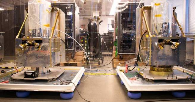
The AstoSite event-based camera system can observe objects in space under unprecedented conditions.2019-02-26
The Assistant Commissioner of Victoria Police has suggested that UAVs may be used...2018-09-25
West Australian airfield chosen as first launch and recovery site for production stratospheric...2018-07-31
The mobile surveillance platform will be able to ‘detect and defeat’ UAVs.2018-07-24
Missing MH370; GeoNext write-up; Tournament Earth; SA’s drone fleet; time adjustments; 3D selfies2014-03-18
Newsletter
Sign up now to stay up to date about all the news from Spatial Source. You will get a newsletter every week with the latest news.
© 2026 Spatial Source. All Rights Reserved.
Powered by WordPress. Designed by


