HMNZS Manawanui ran aground on a reef off the coast of Samoa while...
shipwrecks
-
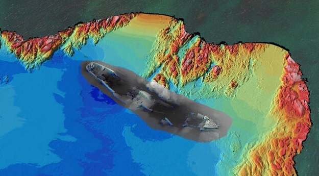
A bathymetric survey performed by CSIRO’s RV Investigator has identified the wreck of...
2024-07-26
The wrecks of two ships that sank in 1912 and 1940 have been...2023-12-15
A CSIRO project team has used bathymetry to confirm the location of the...2023-05-16
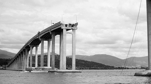
ADVERTISEMENTThe first-ever ultra-high-resolution spatial digital twin of the SS Lake Illawarra and the...2022-10-31
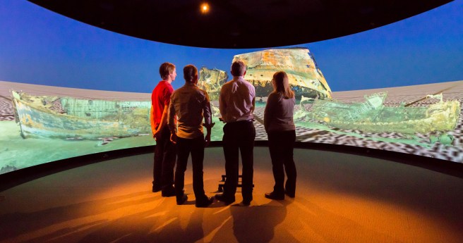
Curtin research project to render historic Australian shipwrecks like never before.2020-06-24
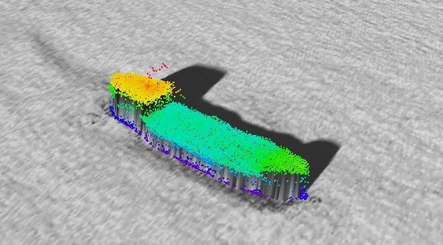
The final resting place of the SS Iron Crown and 38 of her...2019-05-01
Newsletter
Sign up now to stay up to date about all the news from Spatial Source. You will get a newsletter every week with the latest news.
© 2025 Spatial Source. All Rights Reserved.
Powered by WordPress. Designed by


