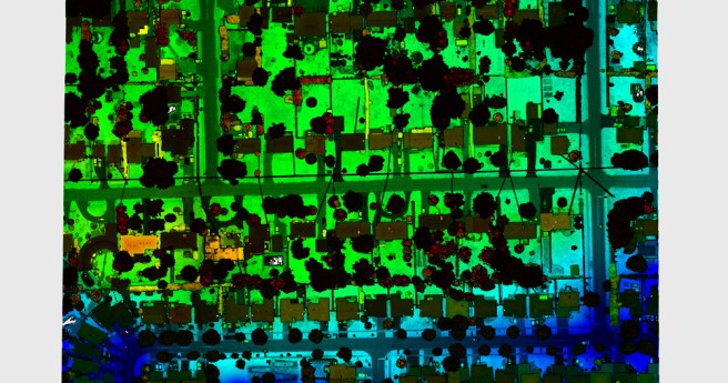
Covid-19 will accelerate expansion of digital twin and smart city technologies, according to...
news-3
-
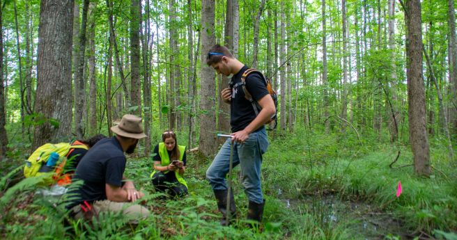
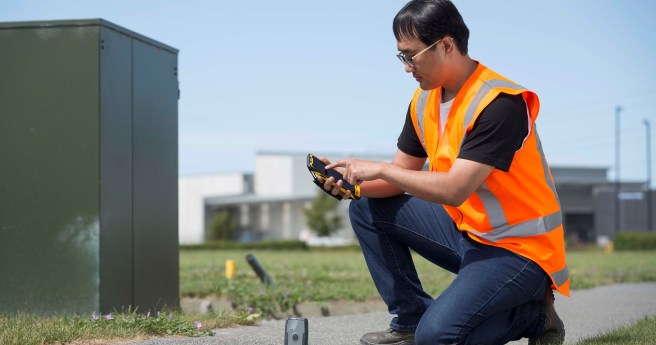
Ecobot’s environmental regulatory apps now incorporate precise positioning via Trimble GNSS services.
2021-01-13
Bentley has become a founding member of the digital twin consortium, and will...2020-12-16
FrontierSI’s Eva Rodriguez Rodriguez has been recognised for her contributions to STEM in...2020-12-08
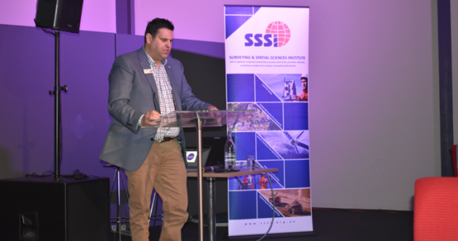
ADVERTISEMENTThe SSSI has announced a new president and a complement of new board...2020-11-24
Surf Life Saving NSW and Northern Beaches Council will use UAVs to monitor...2020-11-18
We sit down with Andy Sexton, whose Navigat/AR system seeks to save the...2020-11-10
Mind-bendingly large and complex aerial performances from UAV swarms break records in quick...2020-11-04
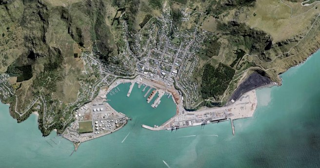
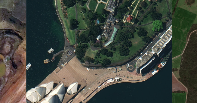
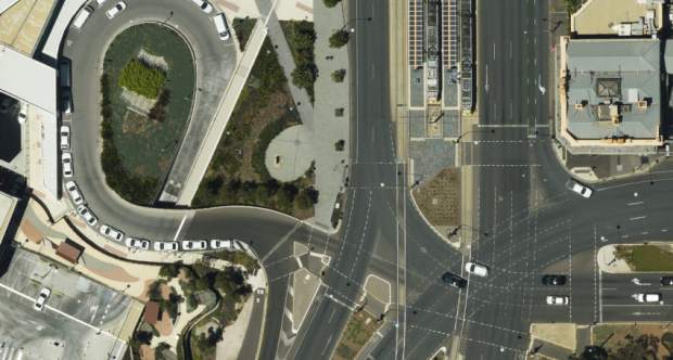
Land Information New Zealand’s free new base maps offer resolution accurate to 5cm...2020-08-18
RobertsDay calls for a decentralised growth model following pandemic-driven changes to work practices.2020-08-12
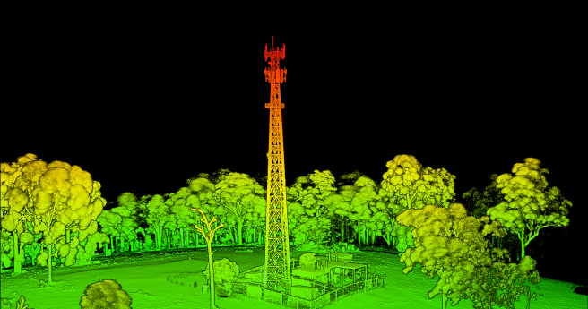
Teledyne Optech claims the Galaxy CM2000 offers the smallest laser footprint currently on...2020-08-05
The new competition seeks industry professionals to put their skills to work to...2020-07-29
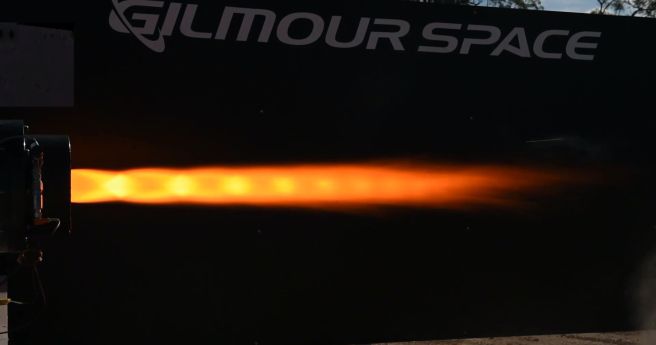
Gilmour has bested its recent Australian record with a 110-second mission duration burn.2020-07-22
Trimble has introduced a three-tiered subscription model for its T4D package.2020-07-15
Emesent has announced its new Hovermap SLAM module, developed to integrate with DJI’s...2020-07-06
Aerometrex has announced a new COO and the expansion of its MetroMap capture...2020-06-29
The first Southern Hemisphere facility of its kind will boost Australia’s capability in...2020-06-22
ANZLIC has published two new resources on best practice for recording metadata for...2020-06-16
Advance Queensland grant to fund development of hybrid rocket propulsion systems.2020-06-10
Trimble’s partnership with TDC will bring precise positioning to Freeance users.2020-06-09
Newsletter
Sign up now to stay up to date about all the news from Spatial Source. You will get a newsletter every week with the latest news.
© 2025 Spatial Source. All Rights Reserved.
Powered by WordPress. Designed by


