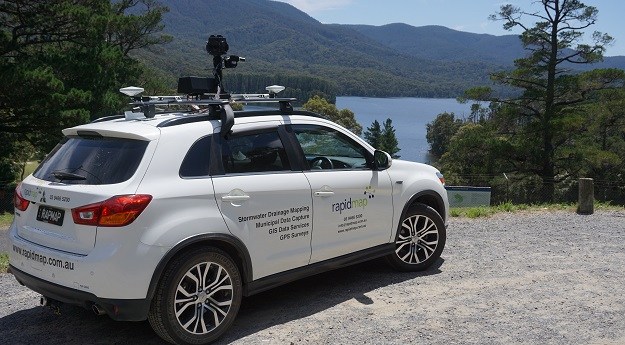
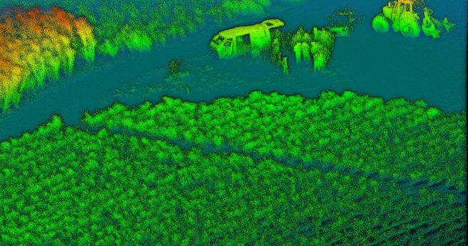
In the run up to the Locate conference in May, we’re highlighting some...
machine learning
-
The efficient delivery of services using fewer resources will require an ever-evolving geospatial...
2022-07-05
In the lead up to Locate22 conference, we’re highlighting some of the vendors...2022-05-09
A state-wide dataset that used to take 100 people two years to create...2022-01-24
ADVERTISEMENTThe program has a focus on machine learning and analytics for automated imagery...2021-07-13
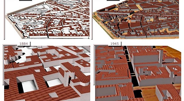
Scientists have proposed a method for deriving 4D building models using historical maps...2021-04-09
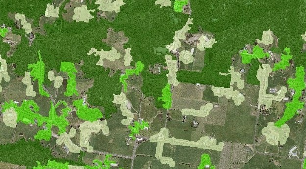
Aerometrex is using supervised machine learning algorithms to differentiate between permeable and impermeable...2021-03-04
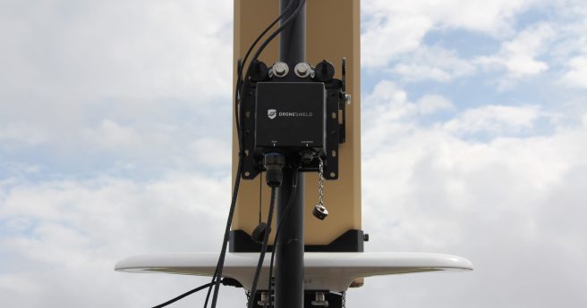
DroneShield claims a dramatic increase in detection responsiveness from its first fully AI-driven...2021-02-11
Winners for the WAI Awards are to be announced at a gala event...2021-02-03
Predicting future honey harvests with 90% accuracy using remote sensing and weather data.2021-01-27
The winners of the Maxar Spatial Challenge are due to be announced on...2020-12-01
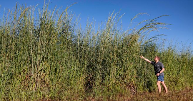
Researchers have developed a model that can identify Gamba grass with up to...2020-11-25
The WGIC launches a study to understand AI and ML use in geospatial...2020-10-07
Female entrepreneurs and innovators in Artificial Intelligence from Australia and New Zealand, take...2020-09-30
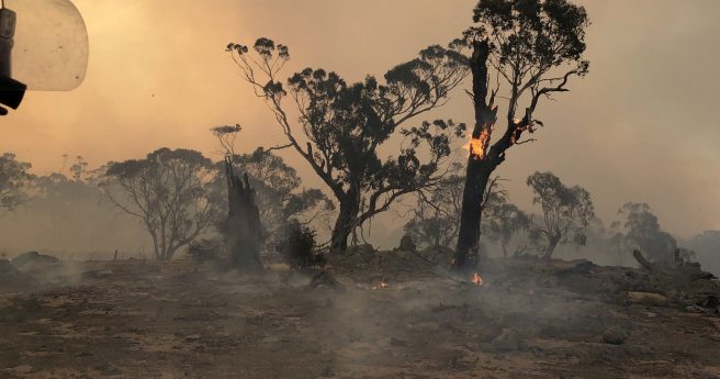
Sensors and satellites drive plan to detect, extinguish blazes within an hour by...2020-09-16
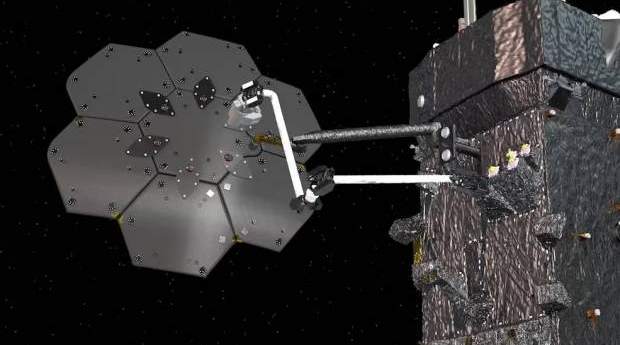
Microsoft AI platforms will power a raft of new CSIRO research projects.2020-06-22
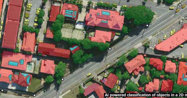
Nearmap launches a suite of AI-driven analytics services alongside its existing imagery services.2020-06-02
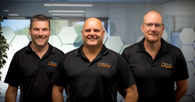
TechConnect has become the first Australian partner to receive AWS data and analytics...2020-04-08
Computer vision based system can detect sneezing, coughing, heart rate and temperature in...2020-03-31
Huawei wins ‘Tech of the Future’ award for its class-leading AI cluster.2020-03-03
Newsletter
Sign up now to stay up to date about all the news from Spatial Source. You will get a newsletter every week with the latest news.
The geospatial sector is set to both underpin the metaverse ...The 10-year project aims to improve infrastructure delivery,...March 21 is the day on which we celebrate the essential work...UAV users can now easily see whether they need to obtain aut...SimActive has announced improved cloud environment enhanceme...© 2024 Spatial Source. All Rights Reserved.
Powered by WordPress. Designed by


