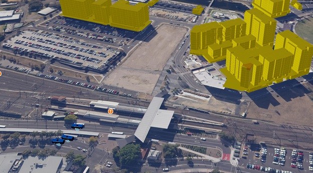
Without a spatial digital twin, there can be no smart cities, no smart...
local government
-
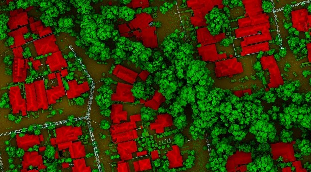
LiDAR is the most precise way to measure tree canopies and gauge changes...
2022-05-03
Cash injection to drive the development of ‘smart places’ with local councils.2021-01-19
KOREC and NCTech launch their vehicle-borne asset inspection and verification system.2020-03-02
ADVERTISEMENTThe new CommunityNotes tool is designed to allow organisations to map feedback from...2015-05-05
1Spatial publishes results of survey of local government organisations’ use of geospatial data.2014-10-28
A new GIS front-end for i-Tree will aid in visualising urban forest assets.2014-09-02
MapInfo technology is helping Ipswich and Logan City Councils engage with their communities.2013-12-10
A highlight of SSSC 2013, was the release of the results of Esri’s...2013-04-23
Councils from across Australia are participating in a benchmark study that will provide...2013-02-12
Esri Australia’s Directions 2013 seminar series promises attendees an unforgettable look into the...2013-02-05
Newsletter
Sign up now to stay up to date about all the news from Spatial Source. You will get a newsletter every week with the latest news.
© 2026 Spatial Source. All Rights Reserved.
Powered by WordPress. Designed by


