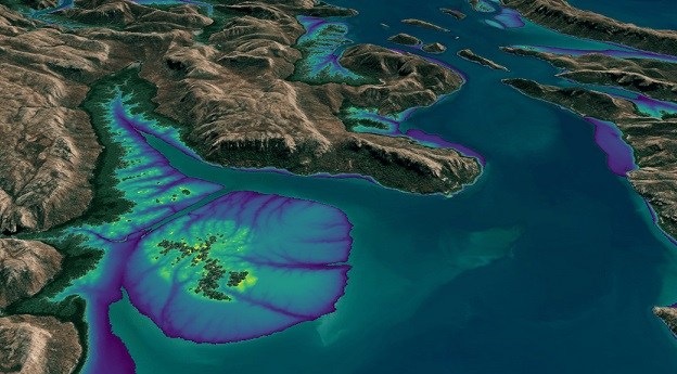
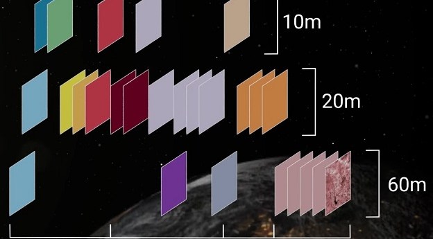
DEA Land Cover provides a detailed portrait of Australia made possible by nearly...
Landsat
-
A new tutorial shows how to find harmonised Landsat and Sentinel-2 imagery by...
2025-03-12
Incorporating Landsat and Sentinel-2 data, it provides an annual 10m elevation product of...2024-04-11
The new program will take advantage of the capabilities to be offered by...2024-01-16
ADVERTISEMENTREMAP enables simple and swift analysis of Landsat data for ecosystem monitoring.2018-07-31
MapXplorer’s new app makes the archive of Aussie Landsat data accessible via a...2018-07-09
Earth Porn; Project Wing gone; Amazon & Landsat; Excel to map in 5m;...2015-03-24
Landsat’s 42nd; China’s EO; LightSquared sues USA; tech @ EsriUC; unis for drones;...2014-07-29
AEOCCG wants you to provide input to the planning process for the Landsat...2013-12-10
The US Government shutdown continues into its second week, with spatial services also...2013-10-08
A report from the US National Research Council warns that Landsat’s future may...2013-08-13
NASA has now transferred operational control of the Landsat 8 satellite to the...2013-06-04
The ARG product suite provides standardised optical surface reflectance datasets for Australia.2013-05-28
NASA and the USGS have released the first images from the Landsat Data...2013-03-26
The latest satellite in the Landsat series was launched into orbit last week.2013-02-19
What’s hot in the spatial world, collected from around the web.2013-02-12
Newsletter
Sign up now to stay up to date about all the news from Spatial Source. You will get a newsletter every week with the latest news.
© 2026 Spatial Source. All Rights Reserved.
Powered by WordPress. Designed by


