A milestone has been reached in the NT’s Regional Ecosystem and Landscape Mapping...
environment
-
The four Australian and New Zealand projects will focus on environmental and agricultural...
2024-11-19
Awards for excellence, community impact, innovation and more were presented at a ceremony...2024-11-11
Argos-4 takes its place in the system that captures, processes and distributes environmental...2022-10-11
ADVERTISEMENTBiomass, ESA’s forest measuring satellite is expected to deliver exceptional insights only possible...2021-02-16
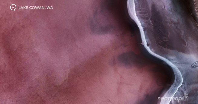
Nearmap releases a stunning ‘guided meditation’ of aerial natural imagery from the company’s...2020-05-21
Analysis of 20 years of satellite data has revealed an increase in global...2015-03-31
Comprehensive digital maps of the country’s soil and landscape attributes have been published.2014-12-09
WebGL globes; MH370 seamounts; Qld spatial; maps for the blind; CO2 animated; FAA...2014-09-30
1,700 new maps and datasets to show local communities any threatened species in...2014-09-23
Springfield; Apple goes indoors; new ISS EO; CO2 map; Hurricane Odile; interactive North...2014-09-16
Exo-cartography; 3D forests; glaciers, diseases, monkeys; robots; Project Wing; indoor mapping.2014-09-09
A new GIS front-end for i-Tree will aid in visualising urban forest assets.2014-09-02
MH17; Easy GIS; China map controversy; drone endurance; OGC calls; isochrone APIs; timelapse.2014-07-22
EOMAP and Landgate have teamed up to offer water-quality monitoring tools for Australian...2014-07-22
QUT has appointed Dr Tim Foresman as its inaugural SIBA Chair in Spatial...2014-05-13
Historic StreetView; monitoring deforestation; 1cm GNSS; asteroid impact map; house prices; more!2014-04-29
Researchers are using satellite imagery to protect the Great Barrier Reef from polluted...2014-04-29
Geoimage has signed an agreement with BlackBridge to market and sell RapidEye products...2014-03-25
Newsletter
Sign up now to stay up to date about all the news from Spatial Source. You will get a newsletter every week with the latest news.
© 2026 Spatial Source. All Rights Reserved.
Powered by WordPress. Designed by


