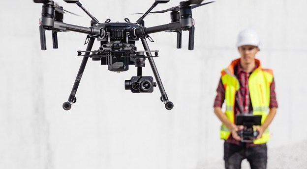
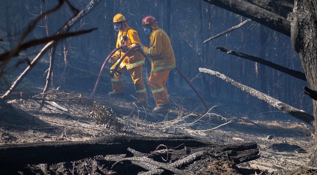
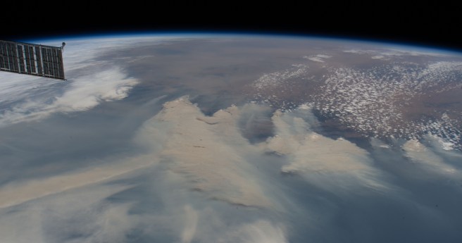
Increased use of drone technologies, particularly in disaster relief, promise a big boost...
emergency management
-
The Mapping and Planning Support program was founded following the devastating 2003 Canberra...
2021-10-13
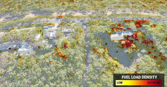
Highly accurate 3D fuel load calculation technology launches for 2020-21 bushfire season.2020-10-27
Emergency communications need to consider space, time and user experience.2020-04-07
ADVERTISEMENTA call for abstracts has opened for the 2015 AIMS Conference to be...2015-04-14
Gold map; desert blowholes; flood photos; evacuate!; Star Wars map; SLAM; smelly city;...2014-12-02
The 2015 ANZ Disaster and Emergency Management Conference will be held on the...2014-12-02
Entries into the second Open Innovation Platform will close Friday Nov 212014-11-13
Early bird registration for the event ends in just a few days, on...2014-03-25
The NSW RFS commissioner is calling on the NSW State Govt. to create...2013-11-05
An $850,000 rollout of new GPS tech for all Fire & Rescue NSW...2013-07-30
Australia’s largest fire and emergency services conference, AFAC2013, is to be held in...2013-05-21
Two reports on Australia’s use and investment in SAR satellites have been released...2013-04-30
Newsletter
Sign up now to stay up to date about all the news from Spatial Source. You will get a newsletter every week with the latest news.
© 2026 Spatial Source. All Rights Reserved.
Powered by WordPress. Designed by


