The annual Greater Hobart Bushfire Exposure Index features improved analytics and wider coverage.
bushfire
-
The index maps vegetation to assess the potential exposure of buildings and communities...
2024-10-28
In the run up to the Locate conference in May, we’re highlighting some...2024-04-24
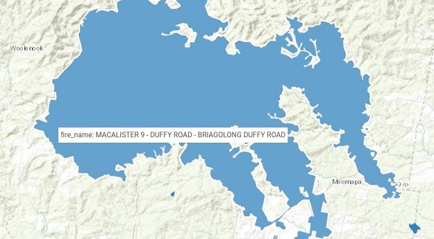
The Digital Atlas of Australia now features near real-time National Bushfire Boundary datasets.2023-12-05
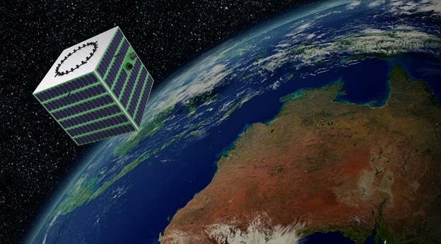
ADVERTISEMENTThe effort will produce a new Australian-made thermal space imager for Earth observation...2022-11-23
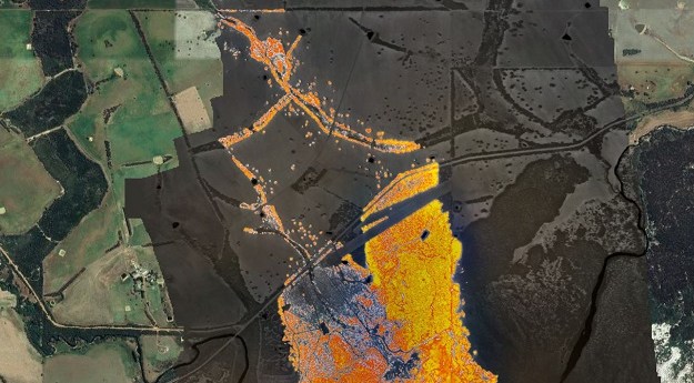
The system takes less than a minute to fly over the fire front...2022-01-12
The Mapping and Planning Support program was founded following the devastating 2003 Canberra...2021-10-13
The CSIRO and AFAC are to develop a nationally consistent bushfire modelling and...2021-02-16
The report urged the establishment of a spatial technology acceleration program.2020-08-26
The NSW RFS commissioner is calling on the NSW State Govt. to create...2013-11-05
Newsletter
Sign up now to stay up to date about all the news from Spatial Source. You will get a newsletter every week with the latest news.
© 2026 Spatial Source. All Rights Reserved.
Powered by WordPress. Designed by


