

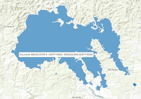
New bushfire datasets now available in the Australian Government’s Digital Atlas of Australia include a near real-time product that combines data feeds from states and territories every 15 minutes, and an accumulation dataset that provides a view of bushfire boundaries in three-hourly intervals.
The datasets join the Historical National Bushfire Boundaries dataset, also available in the Digital Atlas, which provides a national view of bushfires dating back to 1899.
The datasets can be combined with other curated trusted national datasets in the Digital Atlas, unlocking their full potential and enabling a better understanding of collective challenges across borders and empowering proactive and informed decision-making.
The datasets are part of Geoscience Australia’s delivery to the Australian Climate Service-funded National Bushfire Intelligence Capability project being led by CSIRO.


