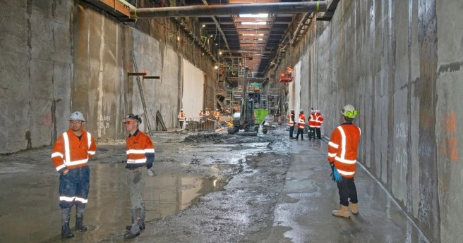
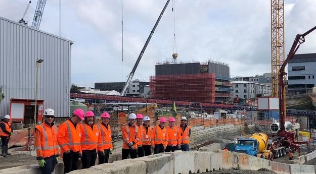
For Auckland’s City Rail Link project, defining property plans below ground level has...
Auckland
-
Port of Auckland is using RTK GNSS via LINZ PositioNZ-RT as the preferred...
2026-07-24
The Lab gives students access to Trimble hardware and software used by geospatial...2023-05-03
The 3.45km twin-tunnel underground rail link will run up to 42 metres below...2022-11-30
ADVERTISEMENT3D mapping has revealed a submerged ridge east of Auckland, prompting a re-think...2014-01-21
The New Zealand Esri User Conference 2013, will take place at SKYCITY, Auckland,...2013-04-16
Newsletter
Sign up now to stay up to date about all the news from Spatial Source. You will get a newsletter every week with the latest news.
© 2026 Spatial Source. All Rights Reserved.
Powered by WordPress. Designed by ![]()