

Australian and South-East Asian scientists and students have been supported to build market interest for products and services that use Earth observation data to tackle the effects of climate change across South-East Asia, as part of an initiative led by CSIRO and Geoscience Australia.
The Earth Observation for Climate Smart Innovation (EOCSI) program saw participants pitch concepts for business services using CSIRO’s Earth Analytics, Science and Innovation (EASI) platform.
EASI is a high-performance computing system through which users can access and analyse large volumes of satellite data on commercial cloud infrastructure.
“Earth observation data is valuable to many different industries. Building connections and capabilities, this initiative is strengthening regional science relations, supporting climate resilience, and promoting sustainable growth and development,” said Project Lead and CSIRO Centre for Earth Observation Director, Dr Amy Parker.
The program included a week-long ‘hackathon’ for more than 80 participants, featuring presentations, seminars, demonstrations and brainstorming sessions. Three of the teams were chosen to develop their concepts into real products with the help of additional technical and business training.
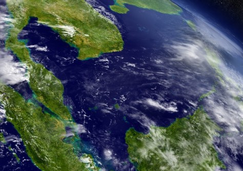
The Sarawak, Malaysia-based Saraqube team — comprising Dr Moritz Muller, Jenny Choo, Asilah Awang and Florina Richard — used the hackathon seek ways to address the decline in coastal ecosystems from urbanisation, aquaculture and climate change.
“South-East Asia is very affected by climate change,” Dr Muller said. “And a big issue is coastal developments.”
The team’s aim was to find a way to address the requirements of the blue-carbon market, i.e. the carbon captured by coastal mangroves, sea grasses and marshes. The first step was to map mangroves along the Sarawak coastline.
“Using the EASI platform, we can identify spots of change and identify areas for reforestation,” Dr Muller said. “But we also used the platform to look at a larger scale; this is something we can’t do on a ground map. We don’t know what happens, we don’t see the changes. With Earth observation technology we can check 20 years’ worth of data.”
The team found great value in being able to work with other scientists, data analysts and business advisors.
“The ability to bounce ideas is really valuable, so we can actually work on products that we can trust,” Dr Muller said. “It’s not just something we derive, we make a code, we get an image that works. We get expert advice that the image we’re looking at makes sense and that we can use the data.”
“Working with the EOCSI project we have all increased our scientific knowledge and skills quite a bit.”
Florina Richard said that, for her, the best part of the hackathon was learning how to convert ideas into a potential business. “We do science,” she said. “We don’t know how to make it into a service, how to price it. This has been an incredible platform for all of us.”
“We found that participants really want to be part of a community that uses practical STEM approaches to act on climate change,” added Geoscience Australia Project Lead, Rachel Horwood. “And through the initiative, we were able to support them in transforming these ideas into reality.”
The EOCSI initiative is funded by the federal government’s Department of Industry, Science and Resources through the Supporting Australian Innovation in Asia Initiative, along with contributions from regional partners.


