

Image courtesy Toitū Te Whenua Land Information New Zealand
The first set of high-resolution 3D mapping data for New Zealand’s Marlborough region has been released as part of the Provincial Growth Fund LiDAR elevation data capture project.
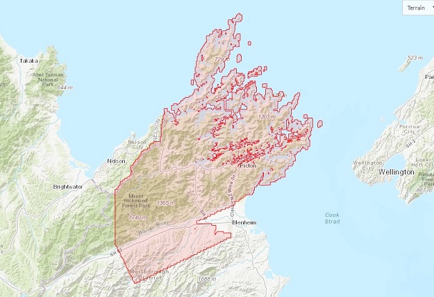
The data, which includes the Marlborough Sounds, will deliver a range of benefits for the region, including supporting coastal ecosystem management and forestry planning.
Marlborough District Council is one of ten regions partnering with Toitū Te Whenua Land Information New Zealand to obtain a baseline elevation data set.
Co-funding from the Provincial Growth Fund is supporting the regional expansion of Toitū Te Whenua’s 3D mapping programme to provide a significant increase in national coverage.
“The new LiDAR data will be a game changer for farming and forestry,” said Marlborough District Council Environmental Scientist, Matt Oliver.
“Now foresters will be able to better plan their harvests to reduce environmental risks. LiDAR can also help farmers’ understanding of erosion risks on-farm and help with farm planning.
“Council has already used the data to evaluate debris flow risk from steep catchments and help with mapping soils in Marlborough Sounds’ valleys. The data will also be used to better understand natural hazard risks such as flooding and landslides,” added Oliver.
“This is especially relevant after the recent storm event.”
Alongside data from recent high-tech marine surveys jointly undertaken by Toitū Te Whenua and Marlborough District Council, the elevation data completes the 3D picture of the Marlborough Sounds coastal ecosystem.
“The LiDAR coverage will enable Council and landowners to better understand the topography of our region, in the same way that the undersea data has helped us to manage and protect the Marlborough Sounds marine area,” said Oliver.
“Covering 40 per cent of the Marlborough region, including the entire Marlborough Sounds, this makes a significant contribution to the national LiDAR elevation dataset,” said Toitū Te Whenua’s Group Manager Topography, Ben Doherty-Jones.
“At the moment, our LiDAR data coverage across the country sits at about 20 per cent. We expect to have around 80 per cent coverage by 2024 when the PGF-LiDAR elevation data capture project is due to be completed,” he added.
The first Marlborough dataset from the project is now publicly available on the LINZ Data Service.
LiDAR data for the rest of the Marlborough region will be released as it becomes available.
Stay up to date by getting stories like this delivered to your inbox.
Sign up to receive our free weekly Spatial Source newsletter.


