

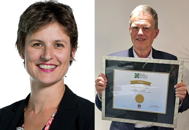
Rebecca Strang and Dr Chris Ferens Pearson have been made fellows of Space and Spatial New Zealand Tatai Whenua.
Rebecca Strang and Dr Chris Ferens Pearson have been made fellows of Space and Spatial New Zealand Tatai Whenua (S+SNZ) in recognition of their long-term contributions to the organisation and the sector.
The two were welcomed as fellows by Kat Salm, S+SNZ President, at the organisation’s annual general meeting held in Wellington and online.
Strang is a past President (2017–19) who has been described as an “an awesome leader for Survey and Spatial NZ”. She was the first woman to be the organisation’s President and inspired those around her with the effort she put into the role while also handling a major new professional position with Aurecon. She also held the roles of Vice President (2015–17) and Councillor (2013–19), and was a Board Director between 2016 and 2019.
Strang has a technical background in land surveying. She joined the Aurecon (then Connell Wagner) Wellington team as an undergraduate in 2000 and since then has developed broad capabilities across geospatial, land infrastructure and digital transformation expertise areas.
In 2016 she took on the role of Digital Practice Leader for Aurecon NZ. This was a change in direction away from technical delivery, to a more strategic leadership role, and saw her become responsible for implementing Aurecon’s global strategy across the NZ business.
In her current role as the global Capability Leader for Geospatial and Land Infrastructure, she is responsible for leading communities of practice across Australia, New Zealand and Asia, connecting region practice leaders and capability specialists.
Dr Chris Ferens Pearson was nominated for his “outstanding contribution to S+SNZ and to its international standing”.
Pearson has acted as Chair of the NTC (National Technical Committee) for each S+SNZ national conference since 2017.
In collaboration with Bill Robertson, he was responsible for developing the successful Participation (PIC) Fund application to the Ministry of Foreign Affairs and Trade (MFAT) so as to fund geospatial professionals from Pacific Island countries to attend the 2016 S+SNZ national conference.
At that conference, Pearson played a key role in organising the Reference Frames in Practice seminar. He also played a leading role in developing the MOU between the Pacific Geomatics and Surveying Council and S+SNZ.
In 1991 Pearson was responsible for the first GPS-based earth deformation surveys in the South Island of New Zealand. This was precise GPS positioning in its very earliest days.
His role in the project involved network reconnaissance, data processing and final publication of results. Over the next decade, he played a vital role in all of the earth deformation and post-earthquake surveys carried in the South Island. The data collected in those days played a crucial role in developing the first detailed earth deformation model for New Zealand.
Between 2001 and 2011, Pearson worked for the US National Geodetic Survey where he continued to extend some of the ideas he had developed in New Zealand. He played a crucial role in developing the HTDP software, which corrects coordinates and measurements for crustal deformation in a similar way to the NZ deformation model.
Pearson also served as geodetic advisor to the state of Illinois where he played a key role in securing funding for the height modernisation program which funded several thousand kilometres of new levelling in the state and also developed the first state-wide projection. His contributions were recognised by honorary membership in the Illinois Professional Land Surveyors Association and an Illinois GIS Association service award.
Upon his return to New Zealand in 2012, Pearson developed the first working prototype of the GPS processing module supporting PostionNZ-PP, which was provided in partnership with LINZ. He became part of the team that collaborated with Trimble Navigation in Christchurch and Paris to develop software to enable Trimble programs to support both dynamic and semi-dynamic datums such as NZGD2000. This was the first time that such software had been available in high-precision, commercial GPS systems.
Between 2015 and 2018, Pearson was responsible for the MFAT-funded program that assisted the Survey Department of Nepal in reconstituting its geodetic reference system following the 2015 Gorka Earthquake. During this time, he spent six months in Kathmandu developing the first deformation model for Nepal and adapting the LINZ programs SNAP and CONORD for Nepali conditions, and conducted the first post-earthquake readjustment of the Nepal First Order network. The success of this work was recognised by awards in four consecutive years from the New Zealand High Commission in India.
Pearson has also played a key role in developing an MOU between the University of Otago and University of the South Pacific (USP) to support their geomatics program.
Stay up to date by getting stories like this delivered to your inbox.
Sign up to receive our free weekly Spatial Source newsletter.


