

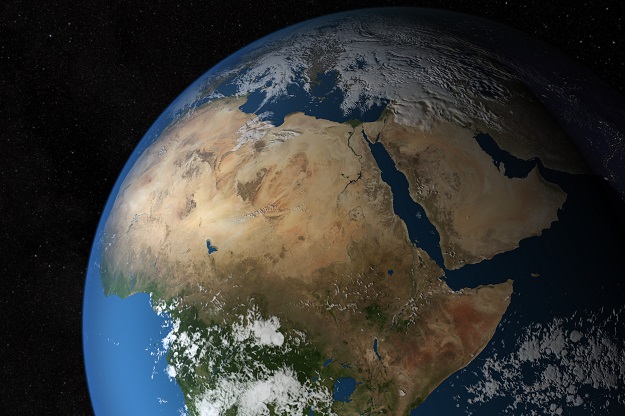
Image courtesy NASA/SVS
The South African National Space Agency (SANSA) has been appointed to host the Digital Earth Africa Program Management Office going forward.
Digital Earth Africa — funded by The Leona M. and Harry B. Helmsley Charitable Trust and the Australian Government — is based on Geoscience Australia’s (GA) Digital Earth Australia program and draws on more than three decades of satellite imagery.
Geoscience Australia’s Place, Space and Communities Division Chief and co-chair of the Digital Earth Africa governing board, Alison Rose, said the appointment of SANSA to host the program management office was a key step towards making the platform fully operational in Africa.
“Geoscience Australia has been proud to provide the foundational support required to get the Digital Earth Africa program off the ground,” said Rose.
“Digital Earth Africa is built on technology that Geoscience Australia created and continues to use through the Digital Earth Australia program to solve problems nationally, from monitoring changes to the Australian coastline to tracking the location and extent of water bodies across our continent.
Rose said that since March 2019, with the support of the Helmsley Charitable Trust and the Australian Government, Geoscience Australia has provided knowledge, training and infrastructure for the program.
“The appointment of SANSA marks a key turning point in Geoscience Australia’s involvement in Digital Earth Africa, and over the next year we will continue to transition this program to be Africa owned and run,” added Rose.
Dr Adam Lewis, who leads the work to establish Digital Earth Africa, said the program had already been used by scientists to tackle pressing issues of sustainability and conservation.
“Through Digital Earth Africa, scientists have been able to map the extent of mangroves in the Sabaki Estuary, informing efforts to protect this important ecosystem,” said Lewis.
“Digital Earth Africa was also used to study water quality in the Lake Naivasha basin as part of efforts to address unsustainable agriculture practices in Kenya.
“This satellite imagery was even used to help plan a rescue mission for a family of endangered Rothschild giraffes living on an island that was growing smaller each year due to rising water levels.
“We are excited to see how this data will be used by our colleagues in Africa into the future.”
Stay up to date by getting stories like this delivered to your inbox.
Sign up to receive our free weekly Spatial Source newsletter.


