

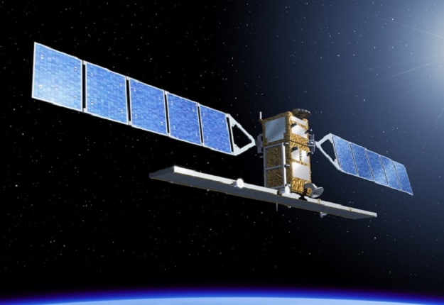
Sentinel-1 SAR data has proven useful during natural disaster events in Australia. Courtesy of ESA.
Curtin University researchers have demonstrated the efficacy of satellite synthetic aperture radar for detecting, monitoring and preparing for natural disasters in Australia.
The researchers used SAR data from ESA’s Sentinel-1 satellite (as well as other satellites) to assess Australia-specific bushfire and flooding case studies, such as the 2016 Wildman Coastal Plains Floods in the Northern Territory.
According to lead researcher Dr Amy Parker, an ARC Research Fellow from Curtin’s School of Earth and Planetary Sciences, the work “found that SAR has added benefits in mapping flood patterns and floodplain dynamics”.
“SAR data can be used to precisely map topography, track movements of the ground surface, characterise land-use change, and map damage to infrastructure, all of which can significantly improve how we track and respond to natural disasters,” said lead researcher Dr Amy Parker, an ARC Research Fellow from Curtin’s School of Earth and Planetary Sciences.
“But despite SAR satellites being well-documented as a hazard monitoring tool, the uptake of such data varies, and in Australia the use of SAR data has been limited.”
“Previously SAR data has been considered too expensive to use as a tool for hazard mitigation, but our findings show, through Sentinel-1 we now have economically viable wall-to-wall, consistent sensor imaging of Australia,” Dr Parker said.
The research paper, ‘Applications of Satellite Radar Imagery for Hazard Monitoring: Insights from Australia,’ has been published in Remote Sensing.
Stay up to date by getting stories like this delivered to your inbox.
Sign up to receive our free weekly Spatial Source newsletter.


