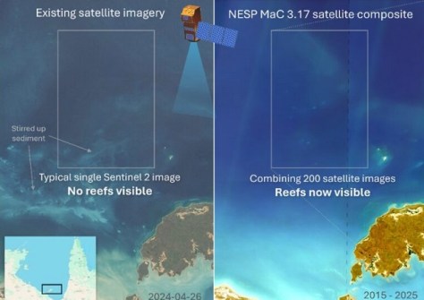
Better satellite imaging, machine learning and 700 hours of manual mapping have revealed hidden coral reefs.

Vale: Gladys West, 27 Oct 1930 – 17 January 2026
The geodesy and GNSS world is mourning the loss of Gladys West, one of its pioneers, who passed away on 17 January.
Read moreLatest Geospatial News
View all
ADVERTISEMENT
A milestone has been reached in the NT’s Regional Ecosystem and Landscape Mapping program.
 2025-12-05
With the success of the Payarri claim, native title now covers more than three quarters of Western Australia.
 2025-12-04
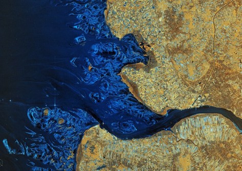
The images show a range of landscapes, from Antarctica to South America, and European cities and rivers.
 2025-12-04
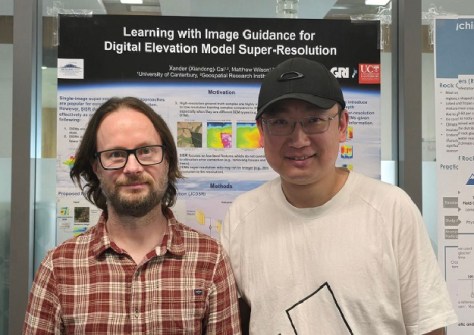
The Joint Spatial Propagation Super-Resolution AI model uses open satellite data and modest computing power.
 2025-12-04
Nicky Bowen’s role is to elevate standards and strengthen capability across the built-environment sector.
 2025-12-04
ADVERTISEMENT
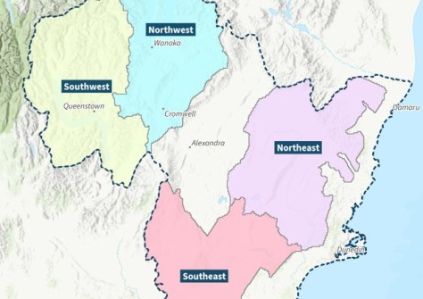
The funding will help Otago Regional Council boosts its region’s LiDAR coverage from 28% to 100%.
 2025-12-04
This week: Geospatial jobs, conferences and webinars, scholarships for women, seabed mapping and more.
 2025-12-03
 Events
View All-
Feb 4
PNT 2026 Conference
 Royal Randwick racecourse, Sydney
 -
Feb 17
Geo Week 2026
 Colorado Convention Center, Denver
 -
Mar 4
BYDA Utility Safety Conference 2026
 RACV Club Melbourne
 -
Mar 16
Association of Public Authority Surveyors (APAS) 2026 Conference
 Park Proxi Gibraltar, Bowral, NSW
 -
Mar 22
Hydrospatial 2026 Conference
 Shed 6, Wellington, New Zealand


