Veris says the $3m deal will result in GIS service offerings that will enhance the overall service portfolio.

PNT assurance in the age of NAVWAR
Positioning, navigation and timing within the ADF is a ‘no fail,’ says the Chief of Joint Capabilities.
Read moreLatest Geospatial News
View all
ADVERTISEMENT
RMIT, Skykraft and Indian researchers are exploring microcombs as a low-cost alternative PNT technology.
 2025-01-29
The combined bodies aim to advance research and collaboration in positioning, navigation and timing.
 2025-01-29
The Association of Public Authority Surveyors NSW’s annual conference will be held from 24 to 26 March 2025.
 2025-01-29
The Joint Development Plan outlines steps that countries should take to bolster the global geodetic supply chain.
 2025-01-28
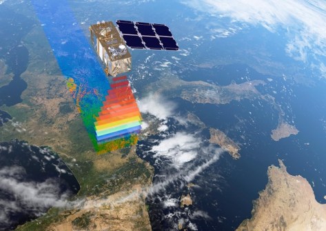
Digital Earth Australia users are advised that the switch has been made from Sentinel-2A to Sentinel-2C data.
 2025-01-28
ADVERTISEMENT
FrontierSI’s Graeme Kernich will serve as interim CEO of the AI-based geospatial data analytics start-up.
 2025-01-28
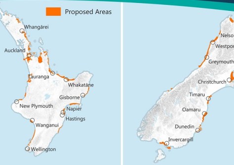
Woolpert NZ and NV5 Geospatial will conduct 3D LiDAR mapping of the North and South Islands, respectively.
 2025-01-28
 Events
View All-
Feb 17
Geo Week 2026
 Colorado Convention Center, Denver
 -
Mar 4
BYDA Utility Safety Conference 2026
 RACV Club Melbourne
 -
Mar 16
Association of Public Authority Surveyors (APAS) 2026 Conference
 Park Proxi Gibraltar, Bowral, NSW
 -
Mar 22
Hydrospatial 2026 Conference
 Shed 6, Wellington, New Zealand
 -
Mar 31
Geo Connect Asia 2026
 Sands Expo & Convention Centre, Singapore


