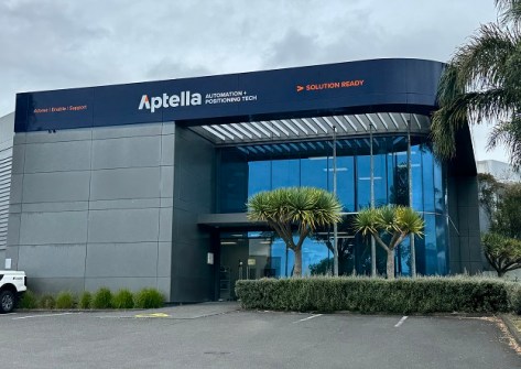
The new Auckland and Wellington offices will offer sales, calibrations and support services.

PNT assurance in the age of NAVWAR
Positioning, navigation and timing within the ADF is a ‘no fail,’ says the Chief of Joint Capabilities.
Read moreLatest Geospatial News
View all
ADVERTISEMENT
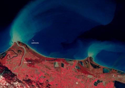
The Sentinel-2A satellite has been given a 12-month “exceptional and temporary” reprieve from retirement.
 2025-02-12
The latest Queensland lands surveying alert sets out the official survey auditing focus for 2025.
 2025-02-12
Australian clients will have access to Picterra’s GeoAI platform plus support from The Spatial Distillery Co.
 2025-02-12
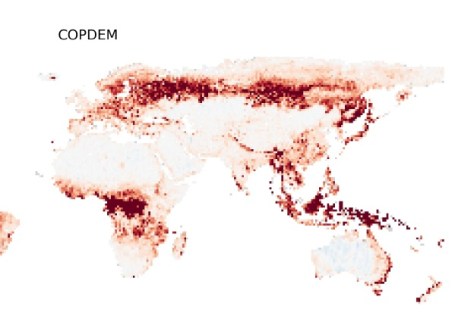
Fathom says the novel use of AI gives the most accurate publicly available model of the Earth’s surface.
 2025-02-12
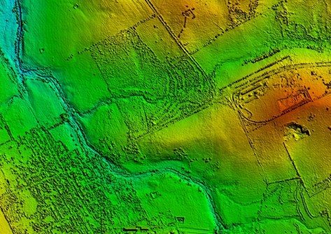
The first round of data collection for the IGNIS Project involved 50 flying hours covering 10,000 km.
 2025-02-11
ADVERTISEMENT
Topcon Positioning Systems has announced a wide expansion of its Topnet Live reference station network.
 2025-02-11
Maxar says its WorldView Legion fleet will provide up to 3.6m square km of 30cm-class imagery per day.
 2025-02-11
 Events
View All-
Feb 17
Geo Week 2026
 Colorado Convention Center, Denver
 -
Mar 4
BYDA Utility Safety Conference 2026
 RACV Club Melbourne
 -
Mar 16
Association of Public Authority Surveyors (APAS) 2026 Conference
 Park Proxi Gibraltar, Bowral, NSW
 -
Mar 22
Hydrospatial 2026 Conference
 Shed 6, Wellington, New Zealand
 -
Mar 31
Geo Connect Asia 2026
 Sands Expo & Convention Centre, Singapore


