She Maps says the finalists have been chosen from an “incredible pool of student and teacher nominees”

IDWGIS interview: Ensiyeh Javaherian Pour
On International Day of Women and Girls in Science, we speak with a researcher who’s fusing geospatial and AI.
Read moreLatest Geospatial News
View all
ADVERTISEMENT
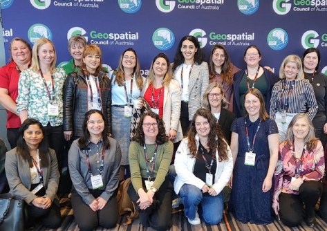
The Geospatial Council of Australia will hold a series of IWD breakfasts across the nation on 7 March.
 2025-02-24
Marcello takes over as the company’s founding director, Geoff Robb, prepares for his future retirement.
 2025-02-21
Henderson has been appointed the company’s Head of Strategic Growth for the Asia-Pacific region.
 2025-02-19
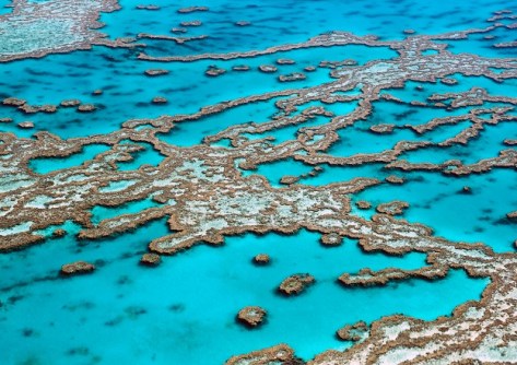
Australian researchers are designing a global real-time monitoring system to help save the world’s coral reefs.
 2025-02-19
Survey firms will need to ensure they have begun using the new Landonline by late April 2025.
 2025-02-19
ADVERTISEMENT
Germany has agreed to extend its funding of the UN Global Geodetic Centre of Excellence until 2030.
 2025-02-19
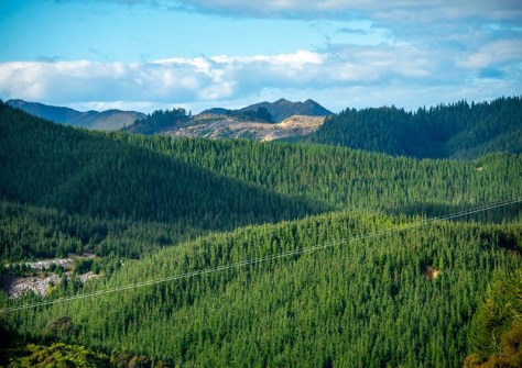
AI and 3D airborne LiDAR have been used to map radiata pine forests for most of New Zealand’s North Island.
 2025-02-18
 Events
View All-
Feb 17
Geo Week 2026
 Colorado Convention Center, Denver
 -
Mar 4
BYDA Utility Safety Conference 2026
 RACV Club Melbourne
 -
Mar 16
Association of Public Authority Surveyors (APAS) 2026 Conference
 Park Proxi Gibraltar, Bowral, NSW
 -
Mar 22
Hydrospatial 2026 Conference
 Shed 6, Wellington, New Zealand
 -
Mar 31
Geo Connect Asia 2026
 Sands Expo & Convention Centre, Singapore


