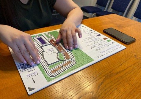
More than 30 international contributors have collaborated to produce a ground-breaking book on tactile mapping.

2026 Women in GIS awards now open
Applications are being sought for the Women in GIS awards and scholarships program for 2026.
Read moreLatest Geospatial News
View all
ADVERTISEMENT
This week: More geospatial jobs, a chance to win an iPad Air, the small satellite market and more.
 2026-01-21
Hydrosat has raised $89m in Series B financing while SkyFi has raised $19 million in a Series A round.
 2026-01-20
The entire state now has complete 10m and 30m coverage, with 1m data available in selected areas.
 2026-01-20
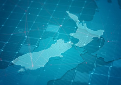
New Zealand is looking to modernise its 2009-era Standard to take account of new technologies and practices.
 2026-01-20
Airborne hyperspectral imaging could prove superior for identifying the kinds of trees that koalas prefer to eat.
 2026-01-19
ADVERTISEMENT
The Earth observation spacecraft has been given new tasking to test its sensitive detectors during night passes.
 2026-01-19
Quantum navigation, SBAS, LEO PNT, resilient PNT, geodetic foundations, and many other topics are on the agenda.
 2026-01-16
 Events
View All-
Feb 4
PNT 2026 Conference
 Royal Randwick racecourse, Sydney
 -
Feb 17
Geo Week 2026
 Colorado Convention Center, Denver
 -
Mar 4
BYDA Utility Safety Conference 2026
 RACV Club Melbourne
 -
Mar 16
Association of Public Authority Surveyors (APAS) 2026 Conference
 Park Proxi Gibraltar, Bowral, NSW
 -
Mar 22
Hydrospatial 2026 Conference
 Shed 6, Wellington, New Zealand


